


Veleta
Again we come to the area now known as the Hostels, Hoya de la Mora (at 2,500 m altitude) to attack the third highest peak Iberian Peninsula, the vane with its 3,394 m. and your neighbor's permission Mulhacén dwelling, also in our Sierra Nevada, and Aneto, beyond the Pyrenees, and today was, as always, so close yet so high (as is required mandate, so by the law of the mountain.)
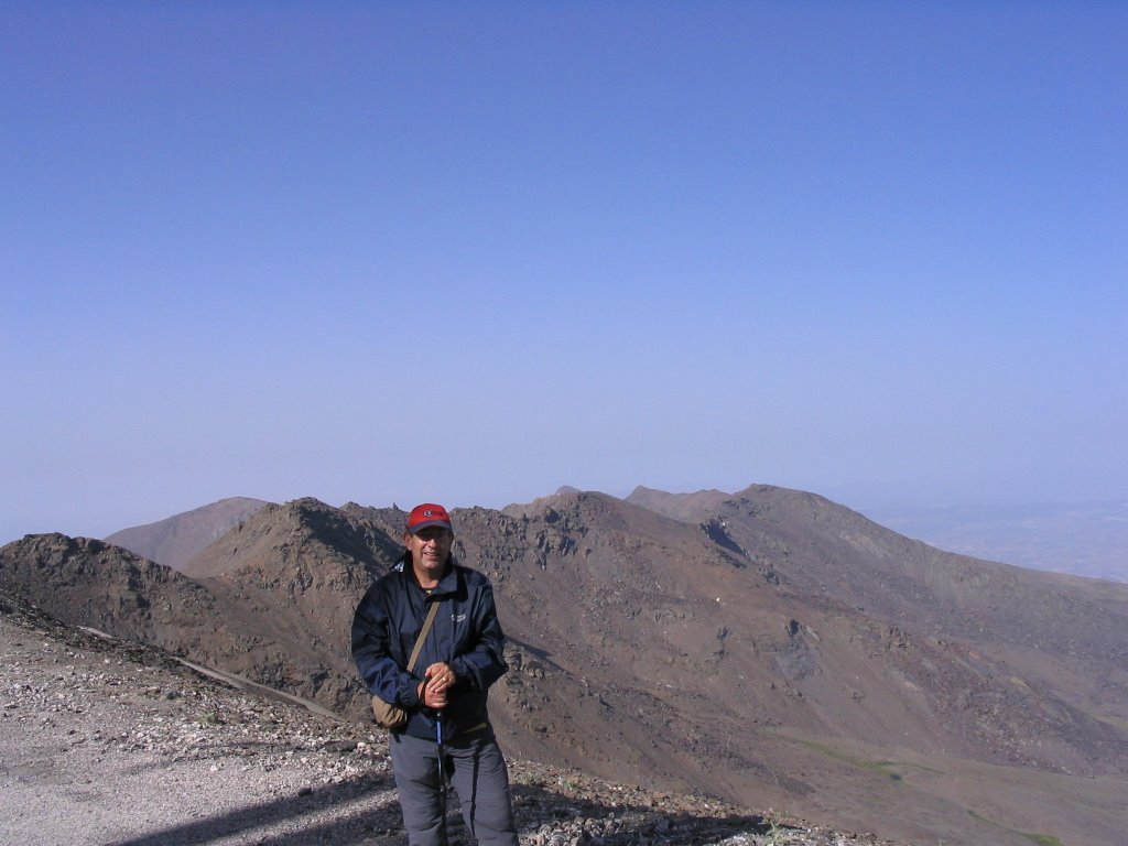
This time with me and Jesus Miguel Angel, medium and small in this house, as a cold Nieves walked over to the Depth of drops, the last moon back in March.
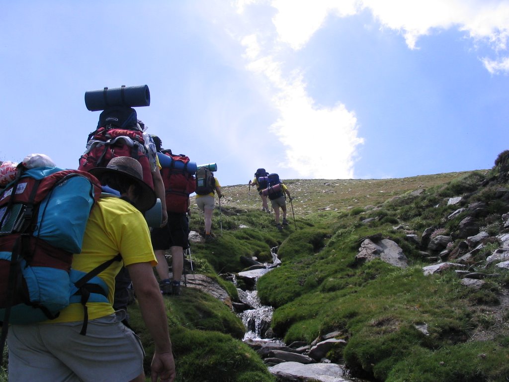
It's 8:10 am when nothing else get off the car and started walking, the temperature was already 19 degrees, when we fear the obvious, that the heat would accompany us throughout the morning. Luckily the wind now prevailing in these altitudes made the rope loosened a bit and not take us to "waters", such as wide as the pack and start back where you soak the backs.
set off in the direction of SE, and all uphill and with an eye on the north face of Vane, it seemed that the goal here would run cooler.
The increase must be very quiet because its duration (about two hours and a quarter, two hours), and especially in its final stretch, is especially hard by the lack of oxygen added and because we are winning height, millimeter by millimeter.
route presents no technical difficulties, but it requires great physical effort that we must be prepared, even us out of the sleeve such alkaline batteries that last and last and last as long as the rabbit that ad and still have that is neither early retirement ...
The route is well marked, as the path, now no snow, no one who says he has not seen, although it was doing the drunk. Leaving the
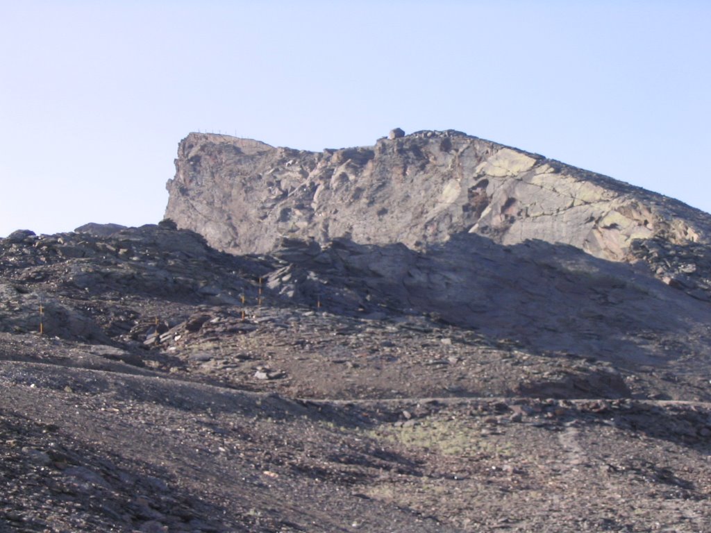
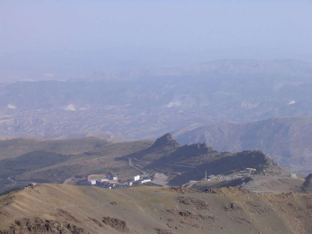
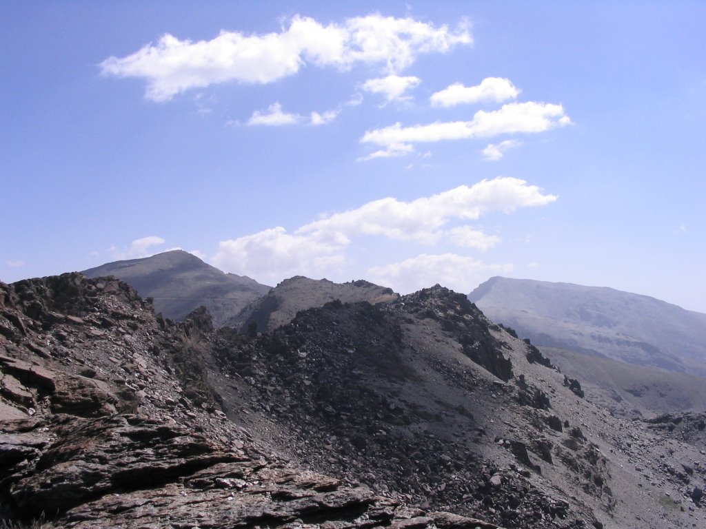
Monument Virgen de las Nieves and the vicinity of the Landmark Wheat (old observatory), cross the Glacier of Cauchiles , countless times across the paved road. This same string leads to the Veleta positions where There are ruins of buildings, a rain gauge and a great view of the north face of the vane and Corrales. Those positions we past a viewpoint with stunning views of the Corral del Veleta, the exact point where it begins the famous "Veredón" that starting the Corral del Veleta leads to the Laguna de la Mosca, on the north side of Mulhacen.
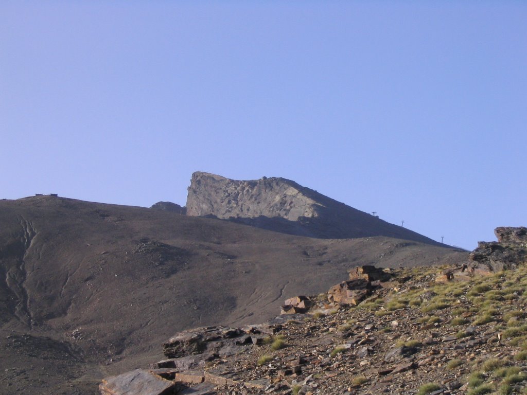
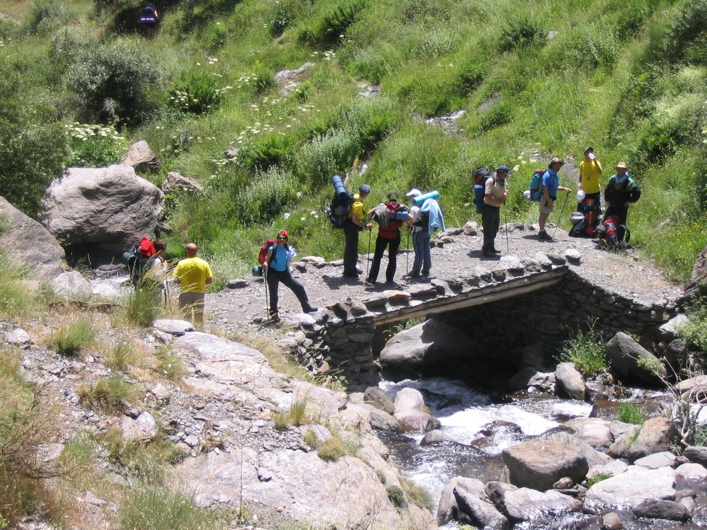
continue the march, leaving these cuts to our left, just before a crossroads (though they are now two dirt tracks) go back to trochar a bit more if possible, by the path that passes near the last stand track header of the latter existing lift. The trail, now in its final stretch, the heaviest of all, it serves the summit of Veleta on a silver platter but with tongue out and giving these sips air fills the lungs you exhausted and a stop after another, every ten minutes or whatever it takes, revive you immediately. Coronado
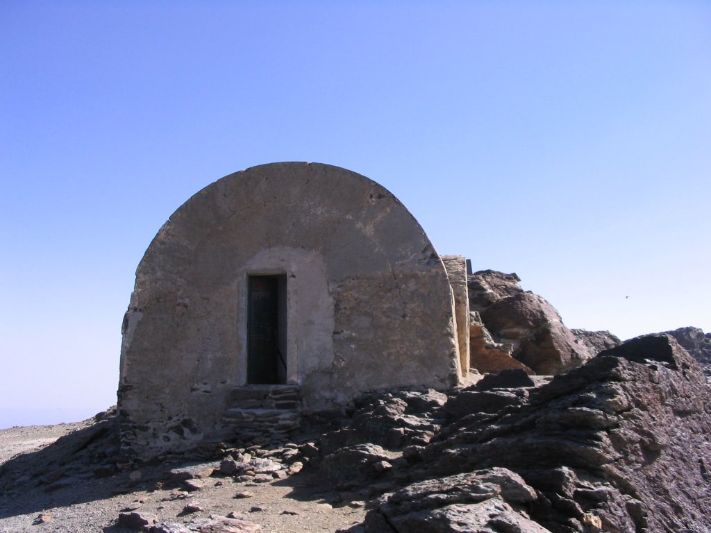
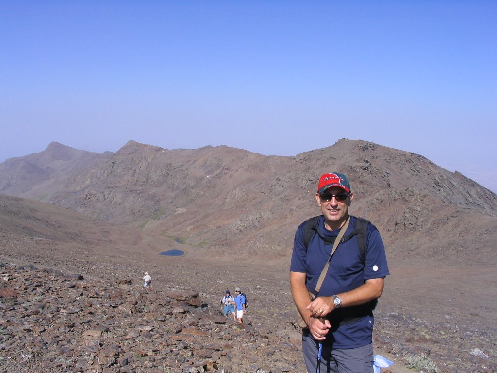
Veleta summit, about 10:20 pm, at 3,394 m. and looking like a swarm of antennas and a small building the largest disfigure. The wind again is unbearable and the trig point serves as a tie because if not, the Corral del Veleta we'd gone all to stop and the air ...
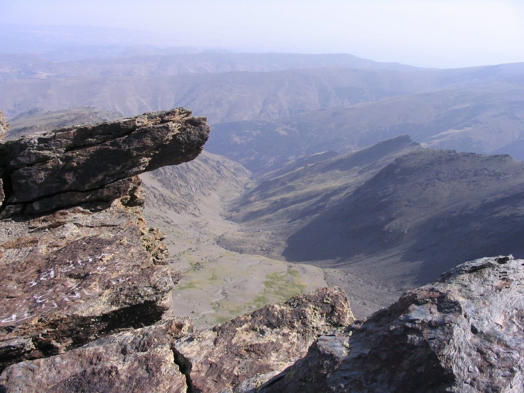
Here you can almost touch the clouds, and blue is as pure as the silence speaks ... Views also are impressive and dominion over all the high peaks of Sierra Nevada are as our companions and we dejándonoslos eyes widen like saucers. We emphasize the north face of vane which sighted and below with his Corral of the same name but now look up and down, and where there are perpetual snow drifts; remains of what was an impressive back in the Quaternary glacier. We also note the majestic river gorge Guarnón that starts from this Corralón for later, giving her the Genil waters. As background also spotted Loma del Calvario.
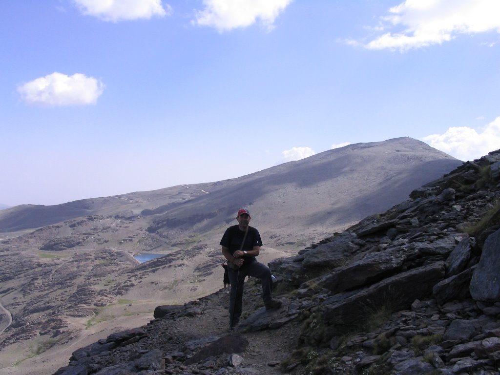
Its south face, softer and less harsh and sharp, gives us the panoramic postcard Tajo de los Machos, Los Scrapes Rio Seco, Mulhacén and the majestic Citadel in the background. South
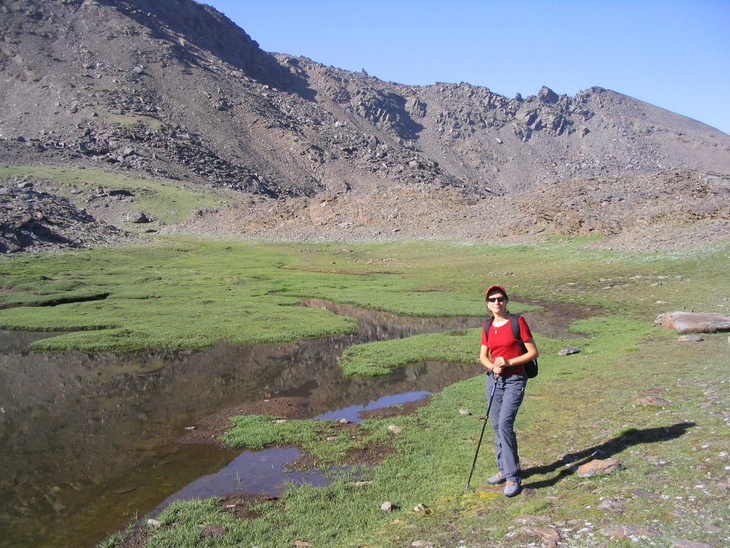
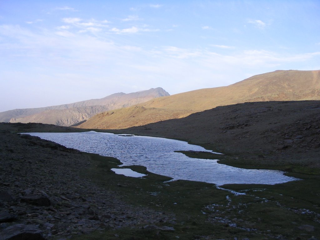
On this side, known as "blanket" is to descend in the direction of the Refuge Carihuela. Below we see the Laguna de Aguas Verdes, facing the impressive Tajos of Our Lady, Refuge Elorrieta, and right beyond the Tozal the Carthusian, Upper Cuts and the Cerro del Caballo.
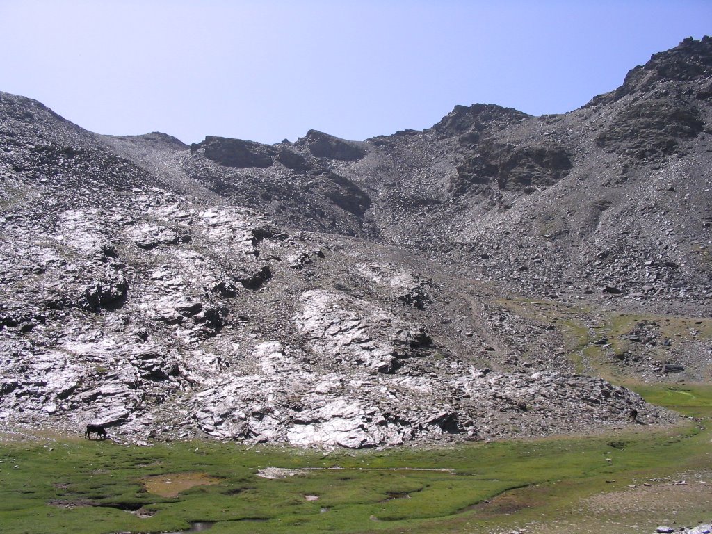
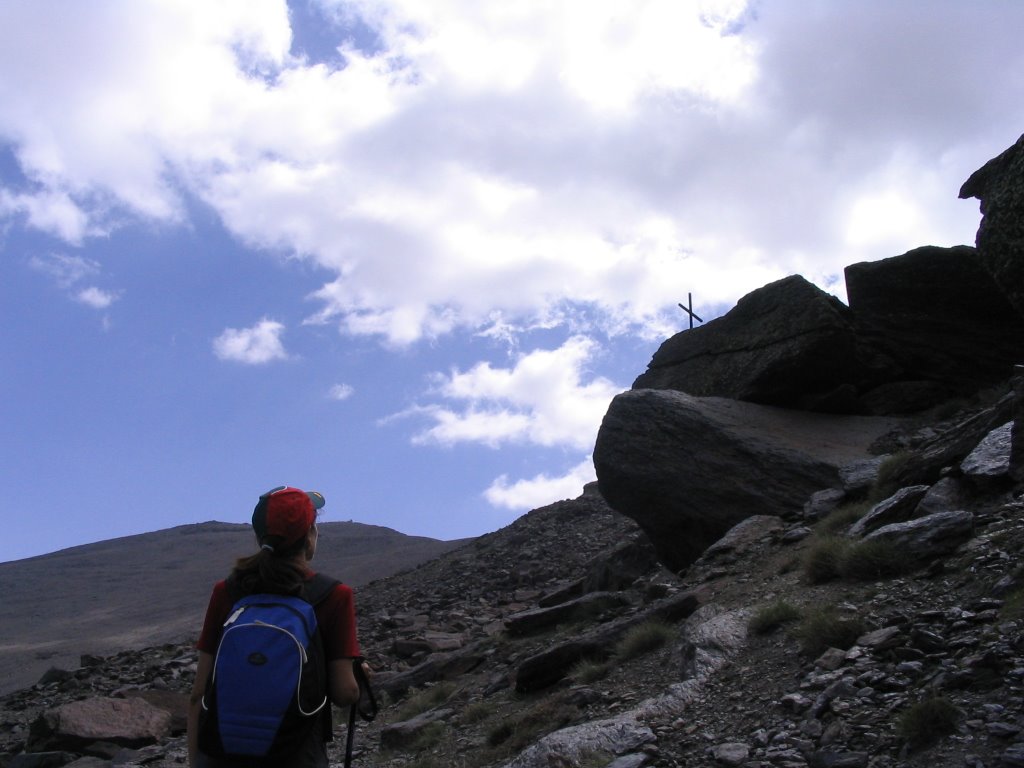
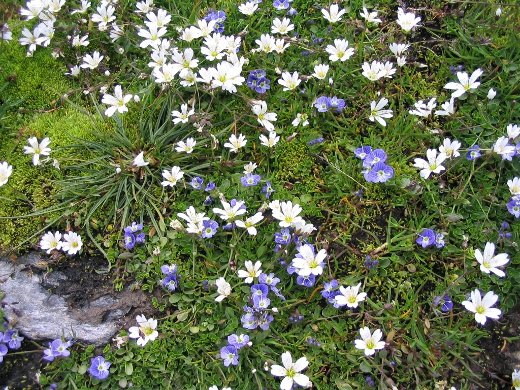
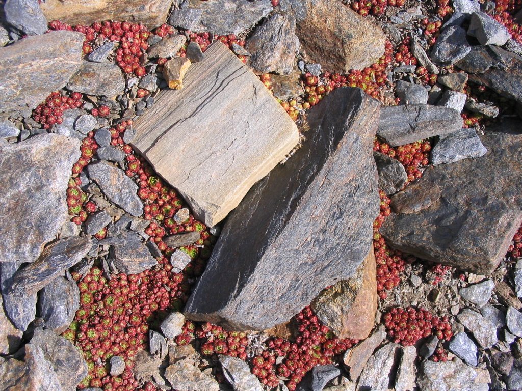
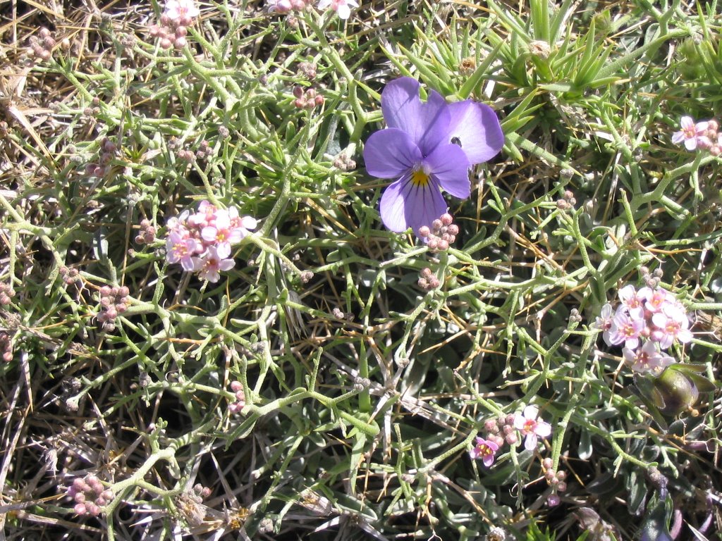
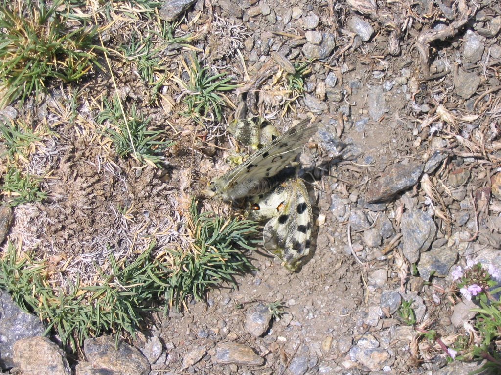
Just before the first peaks of these Tajos of the Virgin, take a lane to the right and descends steeply (only we lacked the wings to check) and ensuring and ensuring every step, because the slabs are going downhill We deposited in Lagunillas of the Virgin. Today, the borreguiles were greener than ever, even more on the color of hope, and where their pastures, which had been taken by cattle remain wet all year. Also sighted during the trip, and as is so common as a herd of goats. As for the flora out of the Snow Star (Plantago nivalis), foxglove (Digitalis purpurea ), Dog's Tooth (Arenaria pungens Clement), Brad the Sierra Nevada (Erodium petraeum ) whose flower has five white petals, although two of them have a blackish spot at the base. Its fruits are elongated and ends in a point, falling on the earth turning slowly sink into it and hence its name, which also are called " clocks" and that Sierra Nevada Thyme (Thymus serpylloides) with its characteristic pink color of its flowers.
Again we come to the area now known as the Hostels, Hoya de la Mora (at 2,500 m altitude) to attack the third highest peak Iberian Peninsula, the vane with its 3,394 m. and your neighbor's permission Mulhacén dwelling, also in our Sierra Nevada, and Aneto, beyond the Pyrenees, and today was, as always, so close yet so high (as is required mandate, so by the law of the mountain.)
This time with me and Jesus Miguel Angel, medium and small in this house, as a cold Nieves walked over to the Depth of drops, the last moon back in March.
It's 8:10 am when nothing else get off the car and started walking, the temperature was already 19 degrees, when we fear the obvious, that the heat would accompany us throughout the morning. Luckily the wind now prevailing in these altitudes made the rope loosened a bit and not take us to "waters", such as wide as the pack and start back where you soak the backs.
set off in the direction of SE, and all uphill and with an eye on the north face of Vane, it seemed that the goal here would run cooler.
The increase must be very quiet because its duration (about two hours and a quarter, two hours), and especially in its final stretch, is especially hard by the lack of oxygen added and because we are winning height, millimeter by millimeter.
route presents no technical difficulties, but it requires great physical effort that we must be prepared, even us out of the sleeve such alkaline batteries that last and last and last as long as the rabbit that ad and still have that is neither early retirement ...
The route is well marked, as the path, now no snow, no one who says he has not seen, although it was doing the drunk. Leaving the
Monument Virgen de las Nieves and the vicinity of the Landmark Wheat (old observatory), cross the Glacier of Cauchiles , countless times across the paved road. This same string leads to the Veleta positions where There are ruins of buildings, a rain gauge and a great view of the north face of the vane and Corrales. Those positions we past a viewpoint with stunning views of the Corral del Veleta, the exact point where it begins the famous "Veredón" that starting the Corral del Veleta leads to the Laguna de la Mosca, on the north side of Mulhacen.
continue the march, leaving these cuts to our left, just before a crossroads (though they are now two dirt tracks) go back to trochar a bit more if possible, by the path that passes near the last stand track header of the latter existing lift. The trail, now in its final stretch, the heaviest of all, it serves the summit of Veleta on a silver platter but with tongue out and giving these sips air fills the lungs you exhausted and a stop after another, every ten minutes or whatever it takes, revive you immediately. Coronado
Veleta summit, about 10:20 pm, at 3,394 m. and looking like a swarm of antennas and a small building the largest disfigure. The wind again is unbearable and the trig point serves as a tie because if not, the Corral del Veleta we'd gone all to stop and the air ...
Here you can almost touch the clouds, and blue is as pure as the silence speaks ... Views also are impressive and dominion over all the high peaks of Sierra Nevada are as our companions and we dejándonoslos eyes widen like saucers. We emphasize the north face of vane which sighted and below with his Corral of the same name but now look up and down, and where there are perpetual snow drifts; remains of what was an impressive back in the Quaternary glacier. We also note the majestic river gorge Guarnón that starts from this Corralón for later, giving her the Genil waters. As background also spotted Loma del Calvario.
Its south face, softer and less harsh and sharp, gives us the panoramic postcard Tajo de los Machos, Los Scrapes Rio Seco, Mulhacén and the majestic Citadel in the background. South
On this side, known as "blanket" is to descend in the direction of the Refuge Carihuela. Below we see the Laguna de Aguas Verdes, facing the impressive Tajos of Our Lady, Refuge Elorrieta, and right beyond the Tozal the Carthusian, Upper Cuts and the Cerro del Caballo.
Just before the first peaks of these Tajos of the Virgin, take a lane to the right and descends steeply (only we lacked the wings to check) and ensuring and ensuring every step, because the slabs are going downhill We deposited in Lagunillas of the Virgin. Today, the borreguiles were greener than ever, even more on the color of hope, and where their pastures, which had been taken by cattle remain wet all year. Also sighted during the trip, and as is so common as a herd of goats. As for the flora out of the Snow Star (Plantago nivalis), foxglove (Digitalis purpurea ), Dog's Tooth (Arenaria pungens Clement), Brad the Sierra Nevada (Erodium petraeum ) whose flower has five white petals, although two of them have a blackish spot at the base. Its fruits are elongated and ends in a point, falling on the earth turning slowly sink into it and hence its name, which also are called " clocks" and that Sierra Nevada Thyme (Thymus serpylloides) with its characteristic pink color of its flowers.
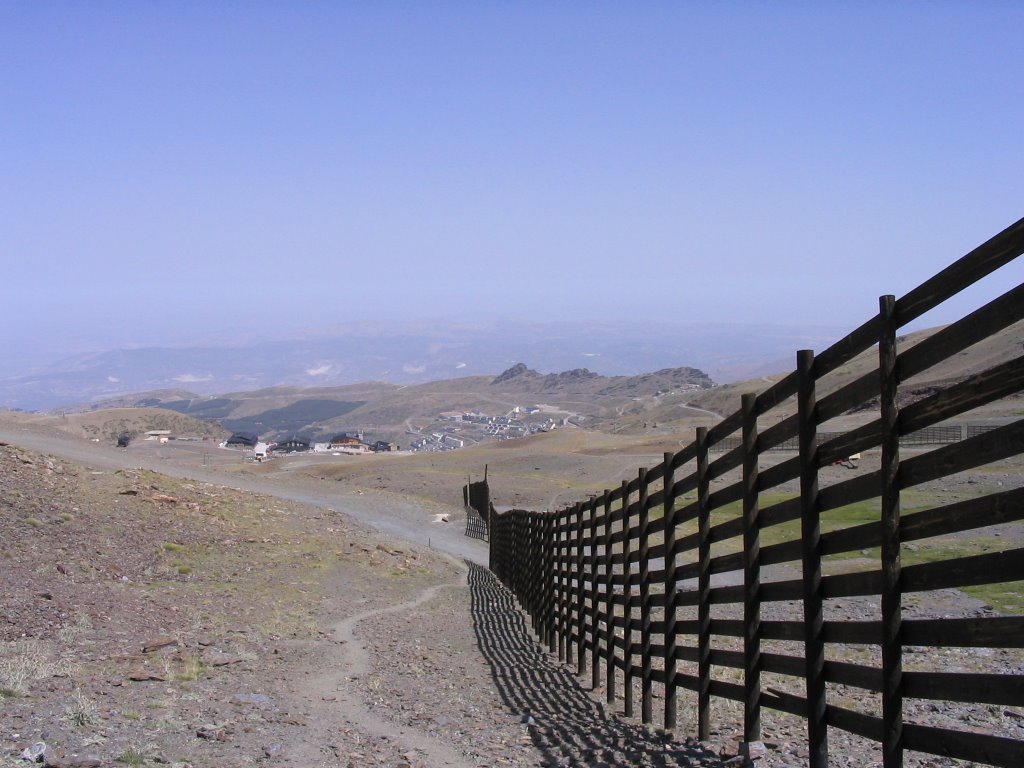
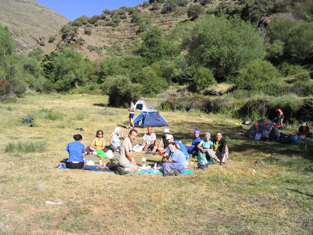
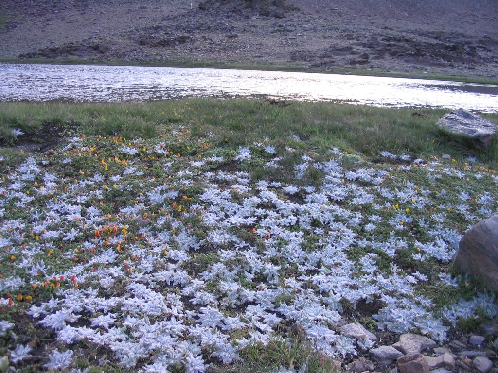
From here we went to the Laguna de las Mares , today with a deep blue color, pulling the exact copy of the sky. We walk, first with the borreguiles delighting where river Dílar to crown then Collado de las Yeguas. To our left is the "mushroom or sartenón" White Centre. Crossing tracks diagonally, passing under some lifts, we left the station Borreguiles . We see in the distance the car parked there in the area of \u200b\u200bthe hostels and make us foot water, while the latter effort is now dragging. The wind rises again in this area Cauchiles . Once again we pass under the Monument to the Virgen de las Nieves, right behind us and our former Wheat Cairn Observatory, noting that has been taken by a crowd of trippers and many foreigners who roam near the parking .
and end point of this beautiful place early-morning and again in Sierra Nevada. The car, because we knew a hot tub. Because it was warm, if it was warm and just set to the "summer", no longer we remembered .... As proof, those 24 sessions, at 13 hours, a clear outside and just in time to embark for home.
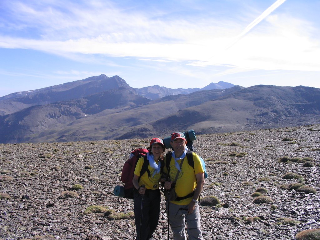
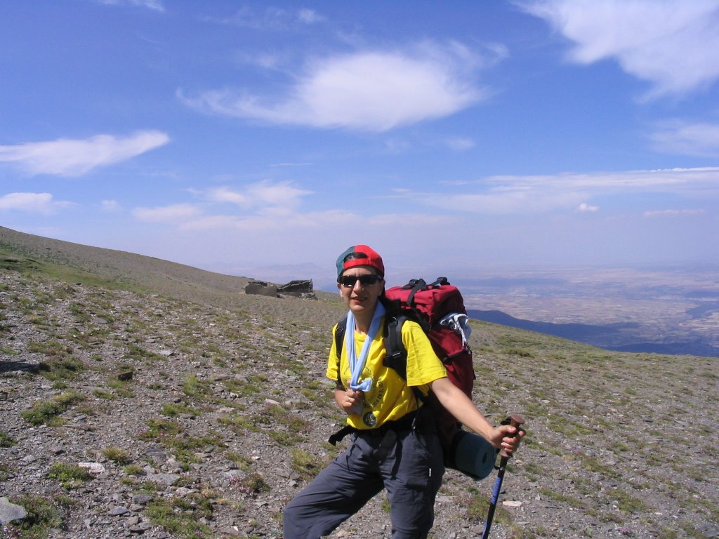
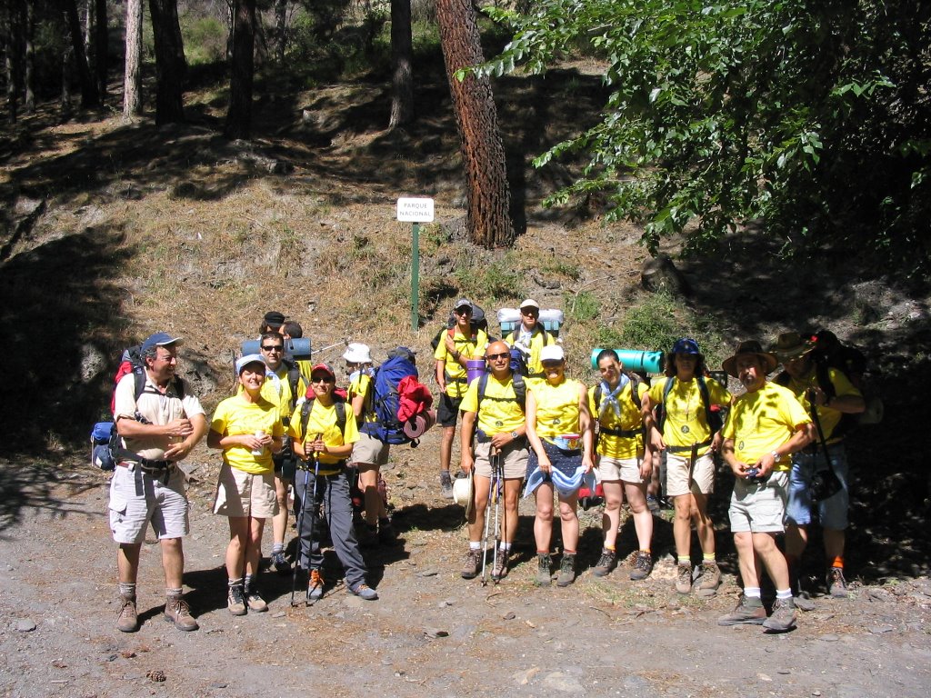
As usual some pictures for remembrance and hope of being able to perform in as many times (it's a good sign that both legs still work and walk). But for now, with his mind set on the next Saturday, August 5, to crown the Mulhacén, on the day of the Patron. Until next time and as always if dq and legs with us.
As usual some pictures for remembrance and hope of being able to perform in as many times (it's a good sign that both legs still work and walk). But for now, with his mind set on the next Saturday, August 5, to crown the Mulhacén, on the day of the Patron. Until next time and as always if dq and legs with us.
*
-Itinerary: Granada, Km.35, 5 Carretera de Sierra Nevada in the vehicle. Hostels, Virgen de las Nieves, Cauchiles Standings del Veleta, Pico del Veleta - Lagunillas de la Virgen, Laguna de las Mares, Boreguiles, Cauchiles, Hostels.
-Number of participants: 3
-Difficulty: Medium
-Duration: 5 hours
-Water: streams and frills of the Lagunillas area - Lake of the Mares - Borreguiles.


