
Since this corpus before us marked by instability and threatening, in risk of thunderstorms is concerned, is why this weekend we could not make any long-haul route and we had designed for the heights of the Sierra Nevada. Journey we have in mind making 1 and 2 July the Marquis come from Jerez - Postero Alto Refuge - up Trevélez if the weather permits and the authority does not prevent muscle. So, not losing the trail and keep cool we step, then we decided, my wife and I give this little walk around the headwaters of the river Darro.
The march started from the Visitor Center Puerto Lobo , which can be accessed by the output of the A-92 - "The Fargo-Huétor Santillán-Granada East", or directly from the village of Viznar. We headed from Alfacar by the road between these two brotherly peoples. You can usually start walking, going up the area known as Barranco de Viznar, but since we left very late, drawing a clear of clouds that we opened as if by magic, and above our heads, then why as it was to take a short walk through the park, is why we went there by car to scratch a few minutes of travel time.
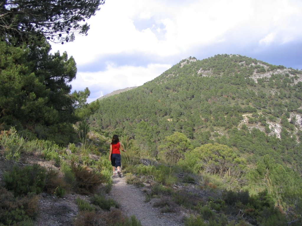
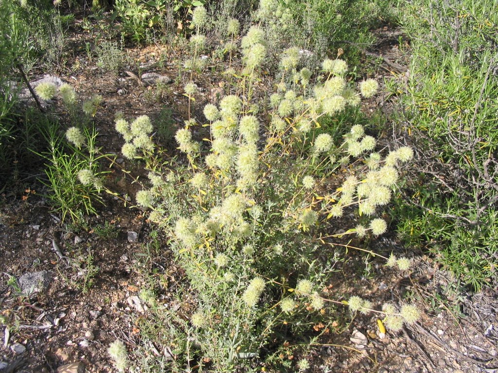
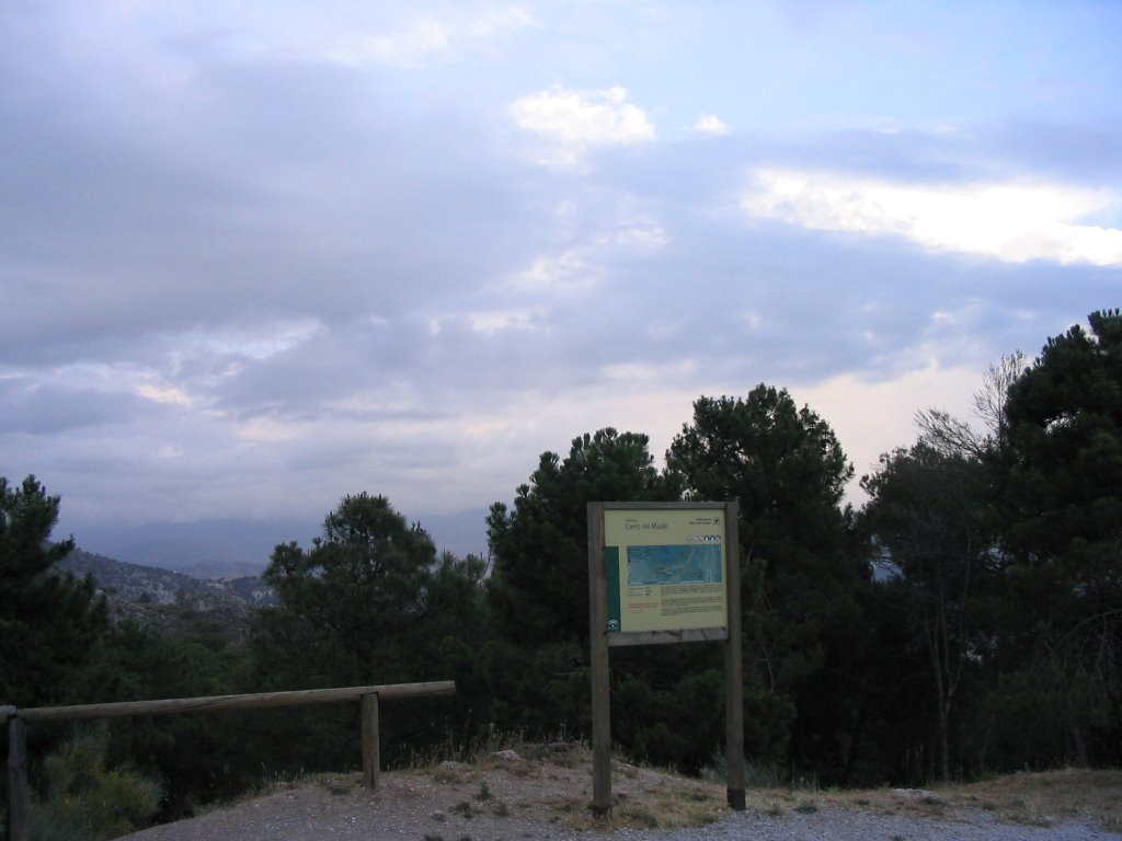
started the walk, from the Visitor Center, take the path signposted as "Maull Hill Trail," to avoid the forest track also starts from here, but as constumbre more monotonous, dusty and busy by nuisance vehicles (later we will on your part). Path that passes through a magnificent pine plantation and native reforestation, cedar, and today was packed with clumps of rosemary, thyme and marjoram.
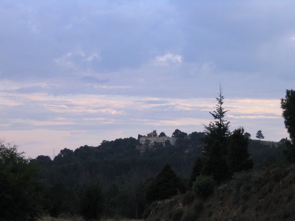
At the same feet Hill Maull, you can visit in about fifteen minutes, the trenches up to its very top to enjoy these magnificent views that I discussed in the "path of the 2 cross-Las Alfacar and Víznar" or turn left to go to meet the forest track to which I referred and which goes up to Camp Alfaguara.
Once on the track, leaving the Hill Maull and to our right, after first passing a first curve to the left and one on the right and seeing the Cerro de Casa Fuerte front, and on a line of same, we sharpen the view to see a rock on the right lane and marked by a worn red arrow signal indicating the start of this narrow path, which would tread for the first time today, and I had talked some locals. Path to which we put a small pile of stones marked the beginning for better and display when you are walking down the runway and looking downhill suddenly you find it.
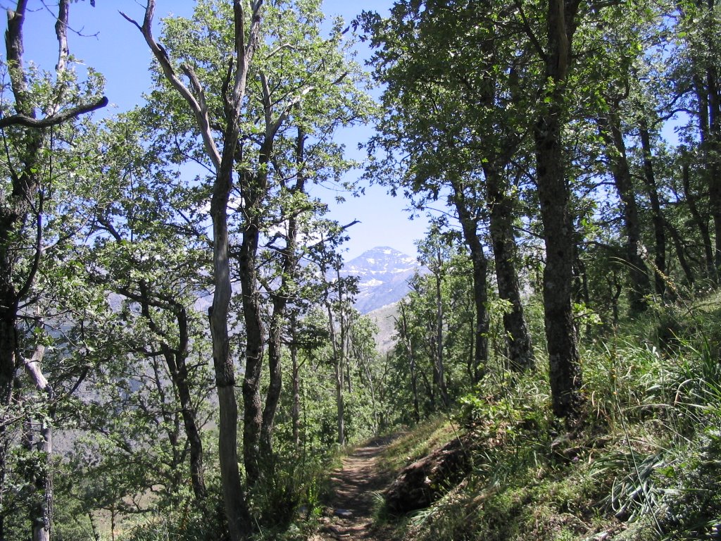
This narrow path begins with a sharp drop between gorse bushes, rosemary and juniper odd, first crossing a small ravine and finally leave the Barranco del Tejo where the vegetation changes completely (we can find gall , oaks, Aceral copies of Pyrenean oak, and thyme Retamares and dolomite). His itinerary, it is very simple and nice although it should be very careful not to go to their narrow drain and / or false step.
The march started from the Visitor Center Puerto Lobo , which can be accessed by the output of the A-92 - "The Fargo-Huétor Santillán-Granada East", or directly from the village of Viznar. We headed from Alfacar by the road between these two brotherly peoples. You can usually start walking, going up the area known as Barranco de Viznar, but since we left very late, drawing a clear of clouds that we opened as if by magic, and above our heads, then why as it was to take a short walk through the park, is why we went there by car to scratch a few minutes of travel time.
started the walk, from the Visitor Center, take the path signposted as "Maull Hill Trail," to avoid the forest track also starts from here, but as constumbre more monotonous, dusty and busy by nuisance vehicles (later we will on your part). Path that passes through a magnificent pine plantation and native reforestation, cedar, and today was packed with clumps of rosemary, thyme and marjoram.
At the same feet Hill Maull, you can visit in about fifteen minutes, the trenches up to its very top to enjoy these magnificent views that I discussed in the "path of the 2 cross-Las Alfacar and Víznar" or turn left to go to meet the forest track to which I referred and which goes up to Camp Alfaguara.
Once on the track, leaving the Hill Maull and to our right, after first passing a first curve to the left and one on the right and seeing the Cerro de Casa Fuerte front, and on a line of same, we sharpen the view to see a rock on the right lane and marked by a worn red arrow signal indicating the start of this narrow path, which would tread for the first time today, and I had talked some locals. Path to which we put a small pile of stones marked the beginning for better and display when you are walking down the runway and looking downhill suddenly you find it.
This narrow path begins with a sharp drop between gorse bushes, rosemary and juniper odd, first crossing a small ravine and finally leave the Barranco del Tejo where the vegetation changes completely (we can find gall , oaks, Aceral copies of Pyrenean oak, and thyme Retamares and dolomite). His itinerary, it is very simple and nice although it should be very careful not to go to their narrow drain and / or false step.
As I said, according to descend after the start of the trail, and by placing them on the left side of this small ravine, soon began a 180 º. After a small climb, the trail now runs along the right bank and the Darro River Valley .
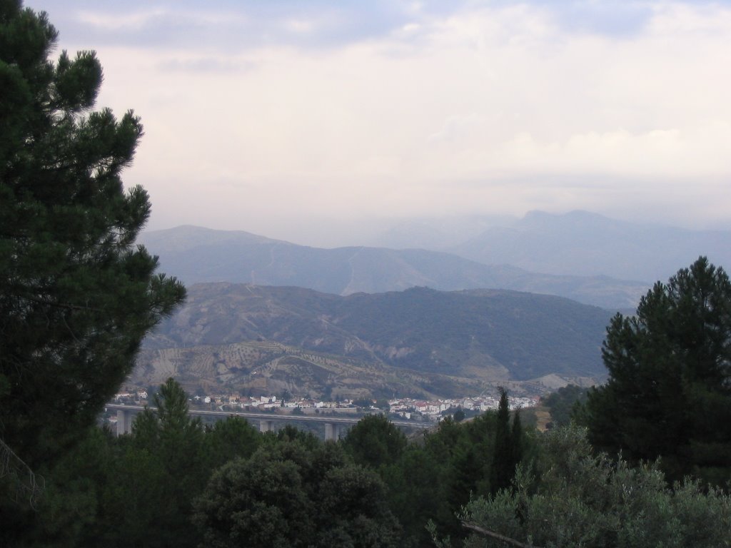
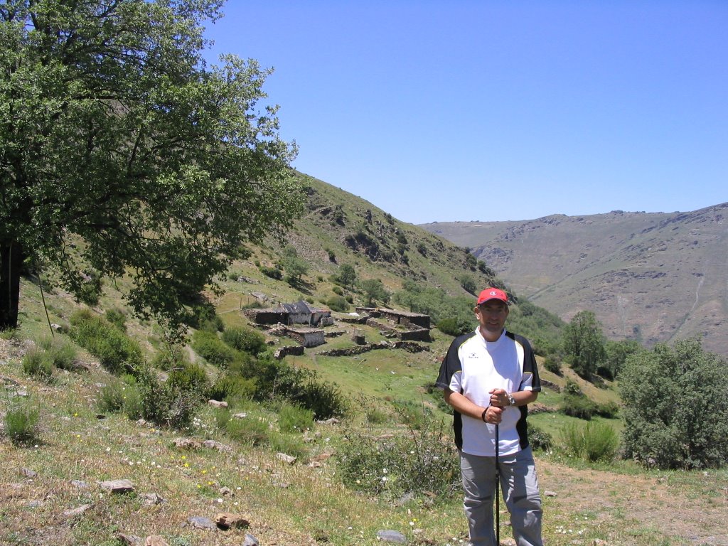
On the other side, our right, the left side of the river, observe the entire route of the path of the Forest House Bolones to Cerro de la Cruz. Forest House we already see in the distance after a decrease of the path before us and after the crossing of another small ravine. Indicate I have, to be saved by some obstacles such as fallen pine logs on it and a bit hampering their passage. To our left we see the remains of old trenches of the English Civil War, very close to the former Casa del Gato.
The trail, after a sharp right turn, now plummets to approach the bed of the River Darro . We go down the same sad watching his drought covered or hidden by the lush some existing trees and poplars abound as well as riparian vegetation marked.
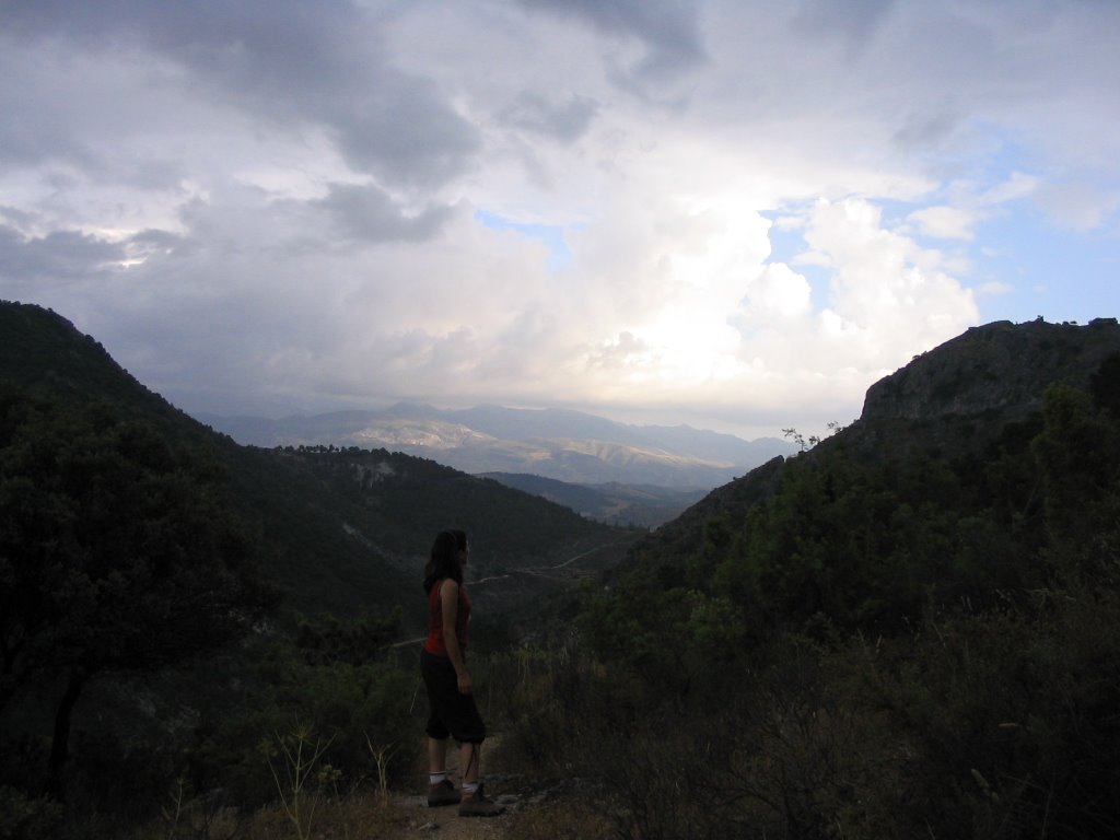
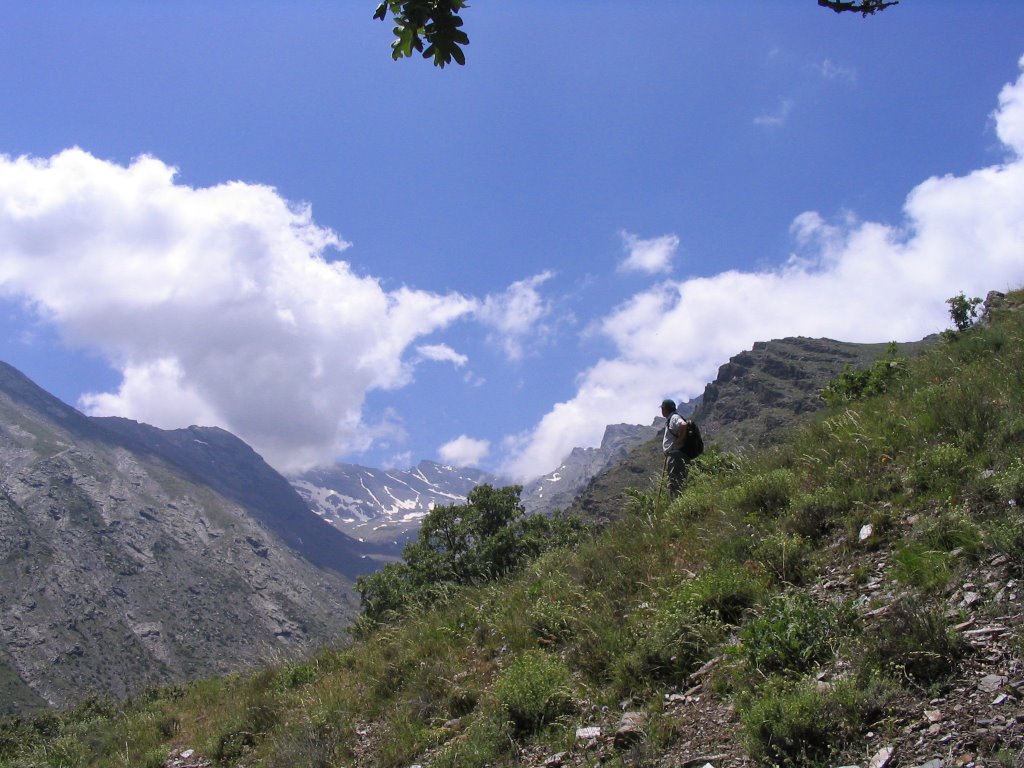
Birth Darro Although, strictly speaking, we can contemplate turning to our right and walk downstream, crossing it several times, until reach a dam, then take the path on the left, save the rocks and run into a booth. Just to the right we find the Fountain of the swineherd who is the exact point where he recognizes his birth. But as they begin to fall a few drops and a thunder storm presage us, we decided not to visit and turn left to approach the pool just up there just below the viewpoint of the Veguilla and the worst move towards the House Forest PEÑONCILLO and protect us if things would have gone higher.
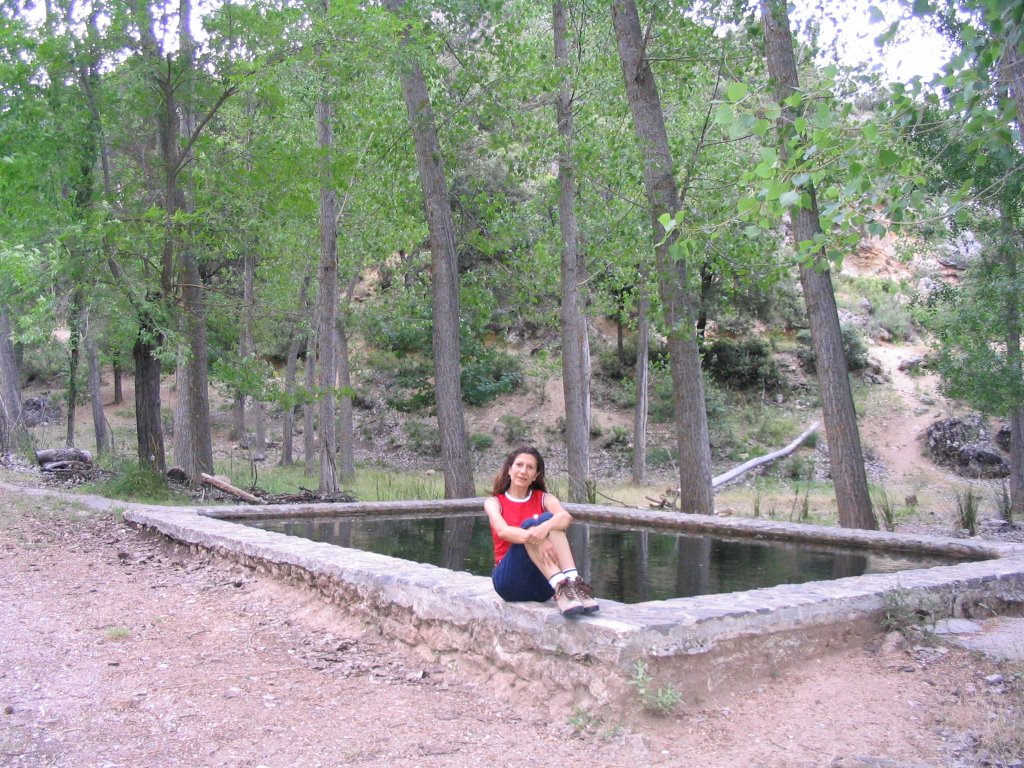
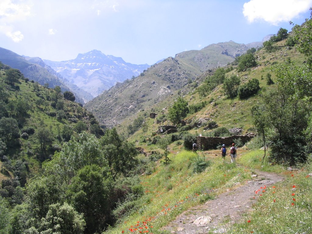
When we reached the pond , as the clouds had dissipated a bit, we decided to turn down the same road that brought us, now we could and the possibility of not getting wet at all (although as always it usually happens in these cases, we would rain on the return).
From this point, the pond I mean, we had had two choices: continuing upriver, visit the very next and refreshing Fuente de la Teja (about ten minutes or less) and if we had chosen to take a small dirt track leaving behind his back and right, lead us, once emptied into the main coming from there, to the Forest House PEÑONCILLO.
I uploaded this short walk to promote this path a little interesting because I see it as a link and quick escape from the meow link to the House Forest PEÑONCILLO (alternatively, we have a little later once the Barranco de la Umbria and take another right track passing through a closed chain you down to the Fountain of Teja, but it is much long and less seen as more box-walking). So for a possible future up for next fall would be a good example given by exit from Alfacar (Big Fountain) - climb the Barranco de Viznar Visitor Center Puerto Lobo - Visit the trenches of Maull - back on track forest - down this path before us to the Barranco del Tejo - Channel and Darro header - Fuente de la Teja - Forest House of PEÑONCILLO - Cañada del Sereno - Cortijo Chorrillo - Rest Area Florence - Fountain of the Colts - Black Prado - The Mill. Final point where we would collect for the return drive (this is where an agreed and even speak well of them, the vehicles I mean.) Would be about 30 km and a prediction, a good ride for the heart and legs and the heart and soul of the Parque Natural de la Sierra de Huétor. Proposal is in the air and suspended with approved and as supply of things to come.
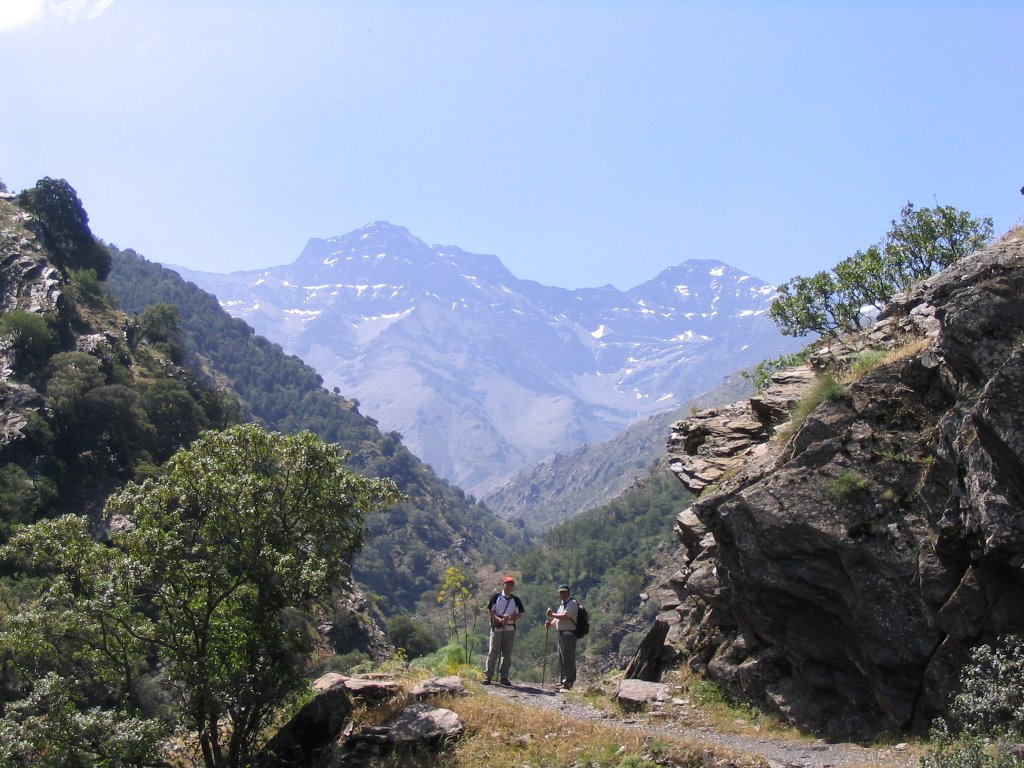
As always leave some photos to remember and put the eye and point and continued in that other our Sierra. The Nevada. The Sierra del Sol as she was called in the Middle Ages and never better now that you can "walk" and enjoy her, taking all the sun and the air you want. With all the care and protection of course, and go ahead. And that, never missing ... The move, as a trace of existence.
When we reached the pond , as the clouds had dissipated a bit, we decided to turn down the same road that brought us, now we could and the possibility of not getting wet at all (although as always it usually happens in these cases, we would rain on the return).
From this point, the pond I mean, we had had two choices: continuing upriver, visit the very next and refreshing Fuente de la Teja (about ten minutes or less) and if we had chosen to take a small dirt track leaving behind his back and right, lead us, once emptied into the main coming from there, to the Forest House PEÑONCILLO.
I uploaded this short walk to promote this path a little interesting because I see it as a link and quick escape from the meow link to the House Forest PEÑONCILLO (alternatively, we have a little later once the Barranco de la Umbria and take another right track passing through a closed chain you down to the Fountain of Teja, but it is much long and less seen as more box-walking). So for a possible future up for next fall would be a good example given by exit from Alfacar (Big Fountain) - climb the Barranco de Viznar Visitor Center Puerto Lobo - Visit the trenches of Maull - back on track forest - down this path before us to the Barranco del Tejo - Channel and Darro header - Fuente de la Teja - Forest House of PEÑONCILLO - Cañada del Sereno - Cortijo Chorrillo - Rest Area Florence - Fountain of the Colts - Black Prado - The Mill. Final point where we would collect for the return drive (this is where an agreed and even speak well of them, the vehicles I mean.) Would be about 30 km and a prediction, a good ride for the heart and legs and the heart and soul of the Parque Natural de la Sierra de Huétor. Proposal is in the air and suspended with approved and as supply of things to come.
As always leave some photos to remember and put the eye and point and continued in that other our Sierra. The Nevada. The Sierra del Sol as she was called in the Middle Ages and never better now that you can "walk" and enjoy her, taking all the sun and the air you want. With all the care and protection of course, and go ahead. And that, never missing ... The move, as a trace of existence.
*
-Itinerary: Visitor Center "Puerto Lobo" - Maull Trail - Forest PISTALA Alfaguara-Barranco del Tejo - Head of the River Darro.
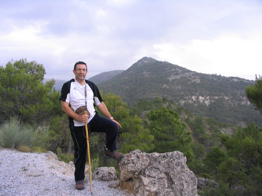
-Number of participants: 2
-Grade:
-Duration: 2 1 / 2 h. approx.
-Number of participants: 2
-Grade:
-Duration: 2 1 / 2 h. approx.
Water: Source of Teja.


