Pradollano A MONACHIL 


OF PADROLLANO (ski resorts "SUN AND SNOW") A MONACHIL
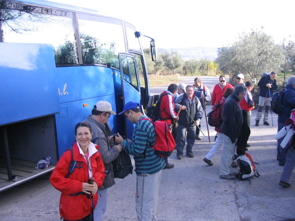
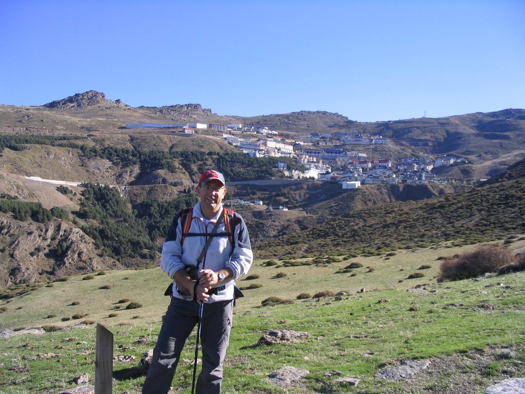
Today, for this long journey we had no choice but to use public transport. So off we headed to the bus station Granada, to catch the 9 am and you go up to the ski resort of Sierra Nevada (Pradollano Square), served on a silver platter by deference Coach Company Bonal (after passing through the box office, of course) and whose journey takes just under an hour if you do not give much chit-chat to the driver and not talk about the Madrid-Barcelona.
The dressing of this route ... so starting from Pradollano about 2,000 above sea level, peak or less, we completed almost at the gates of Granada. Clarifying who is not a very hard journey, but its duration and almost all in decline and with the handbrake on, we will give a medium difficulty almost high, for this effort in the footsteps and with the smell of burning after braking . But let's start before and little by little steps.
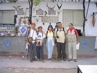
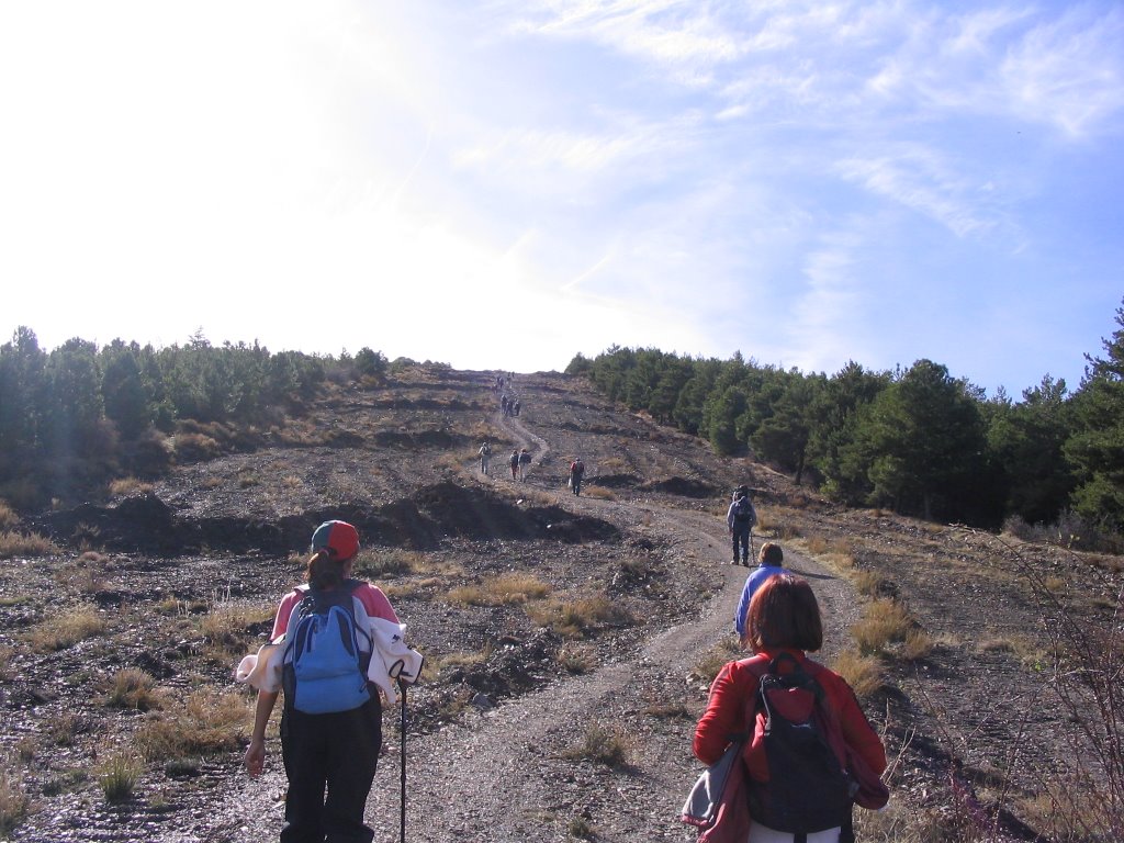
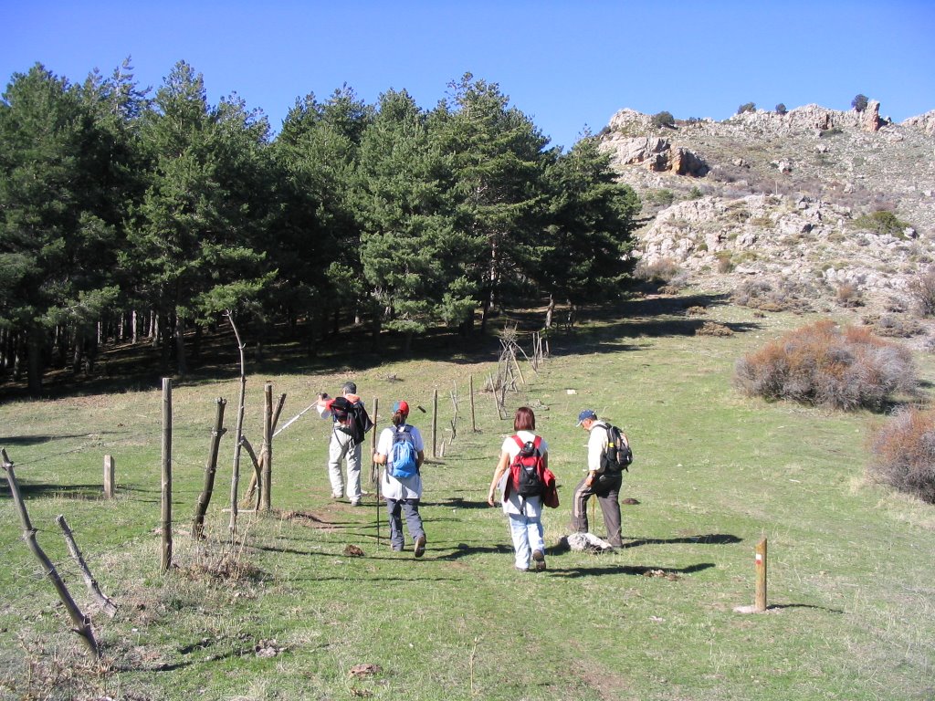
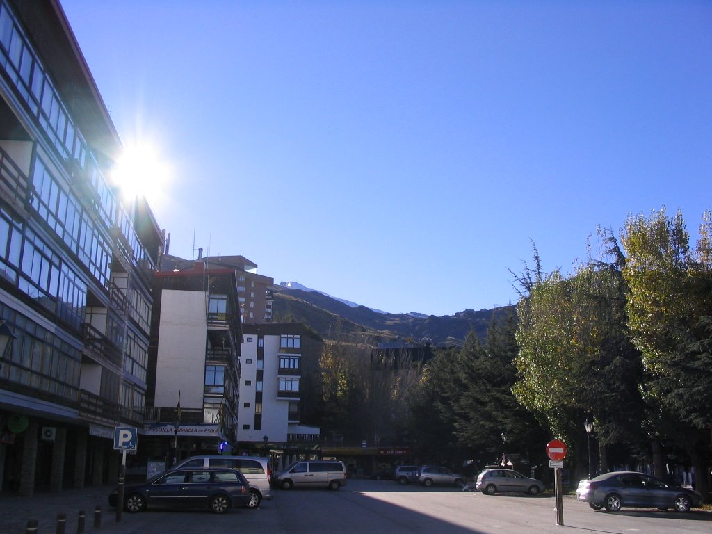
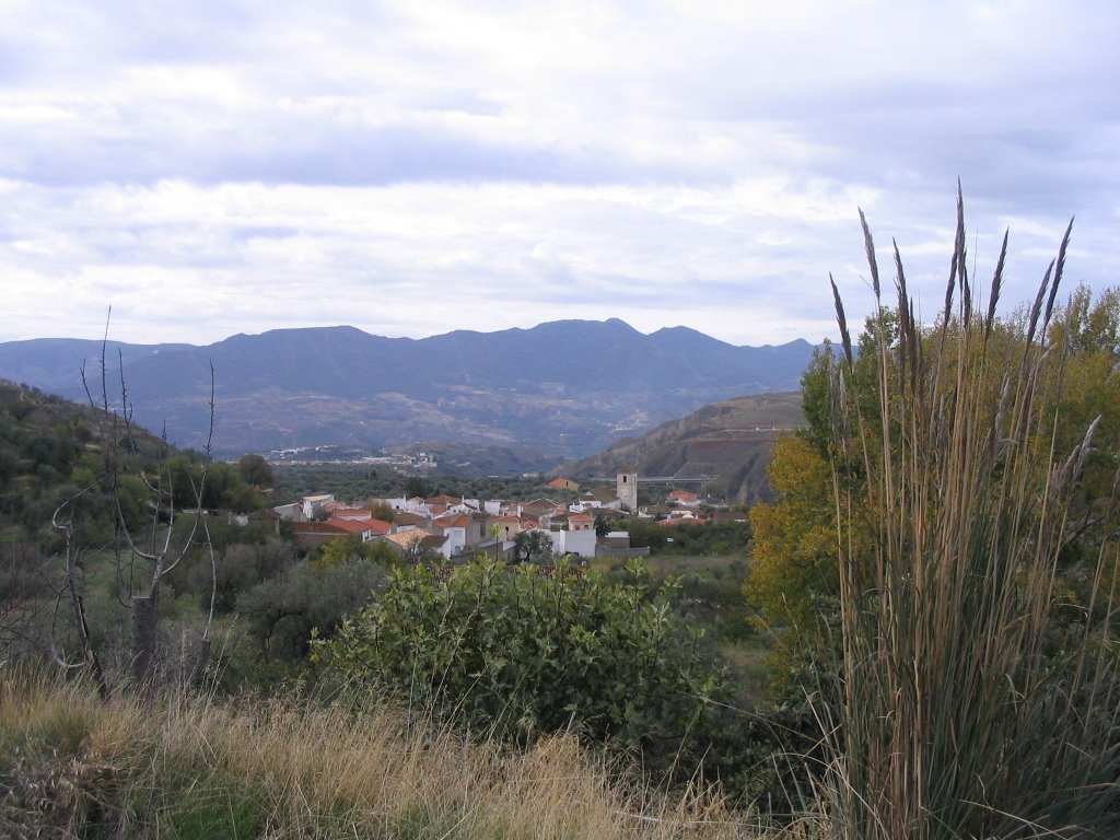
Once downloaded the bus, in the very Plaza de Andalucía (Pradollano), joining with us friend Paco Martinez, and his advice on the 10:00 h. in the morning, take the lane down to the Greenhouse and Purification, to save on "shoes gorilla" and not to the track marked for mountain bikes and it gives you more around the corner, leading to the same site, of course. We crossed ravines
of Round Meadow and Valdeinfierno , several streams and frills, some borreguiles, and as a bonus, the best views from the front, left to right: The Poyos of Monachil, The Cerrajón and Dornajo stiffer than the fig bread.
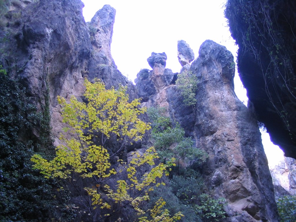
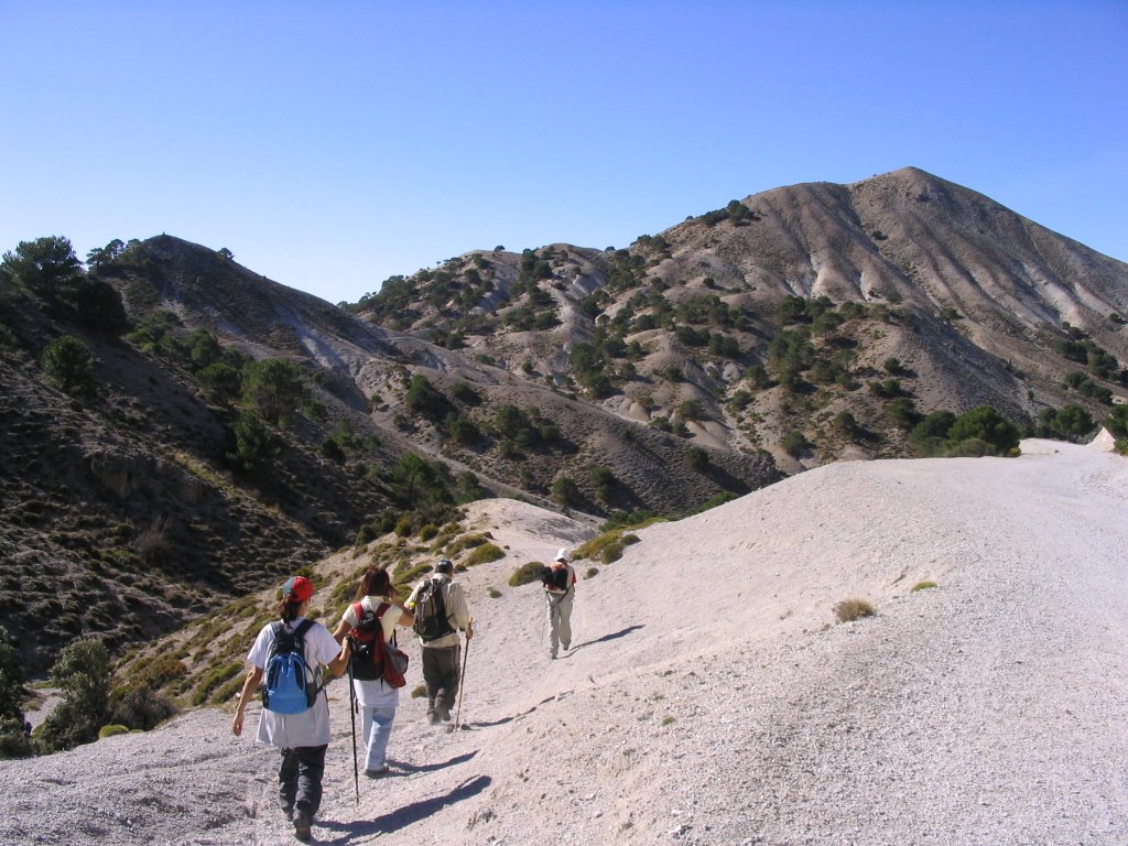
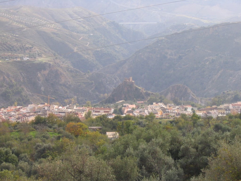
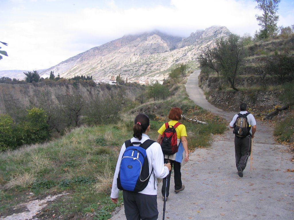
continued our march, we passed the ruins of Maguilla ; left behind, to our left the Cerro del Mirador, bottom right, a magnificent oak autochthonous views Cortijo-Convento de San Jerónimo . But now come the green and after passing a barbed wire: the Collado de Matas Verdes comes to us, and as if by magic, The Trevenque , El Rey, with its grandeur and closeness is almost upon us. At right is the Pico Treasury.
Here, under the first pine Collado de Matas Verdes, we have two options: If you turn left and take the path descending, would fall to the Zubia, otherwise, and is what we decided, following straight and uphill, we go Monachil project was our destination.
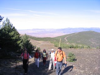
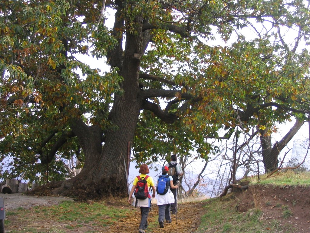
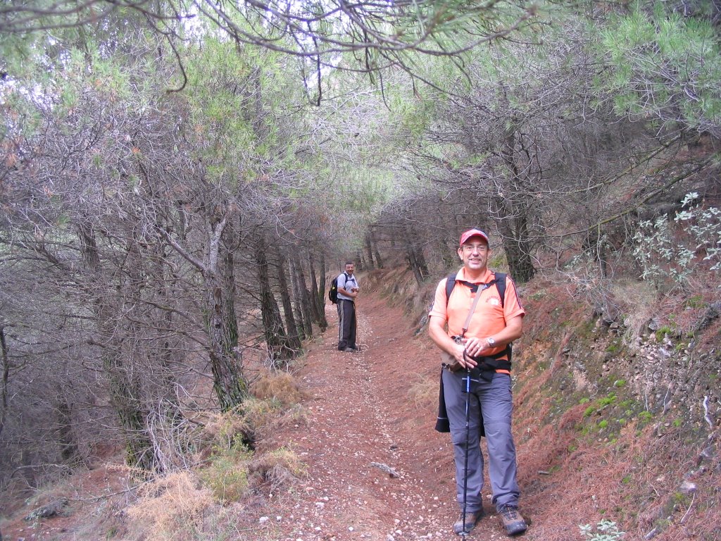
After a while, and after leaving the lush pine forest that has engulfed us, we left the Hill of Ruquino left and continue our progress, while, the Dehesilla we look at the eyes as if to say something.
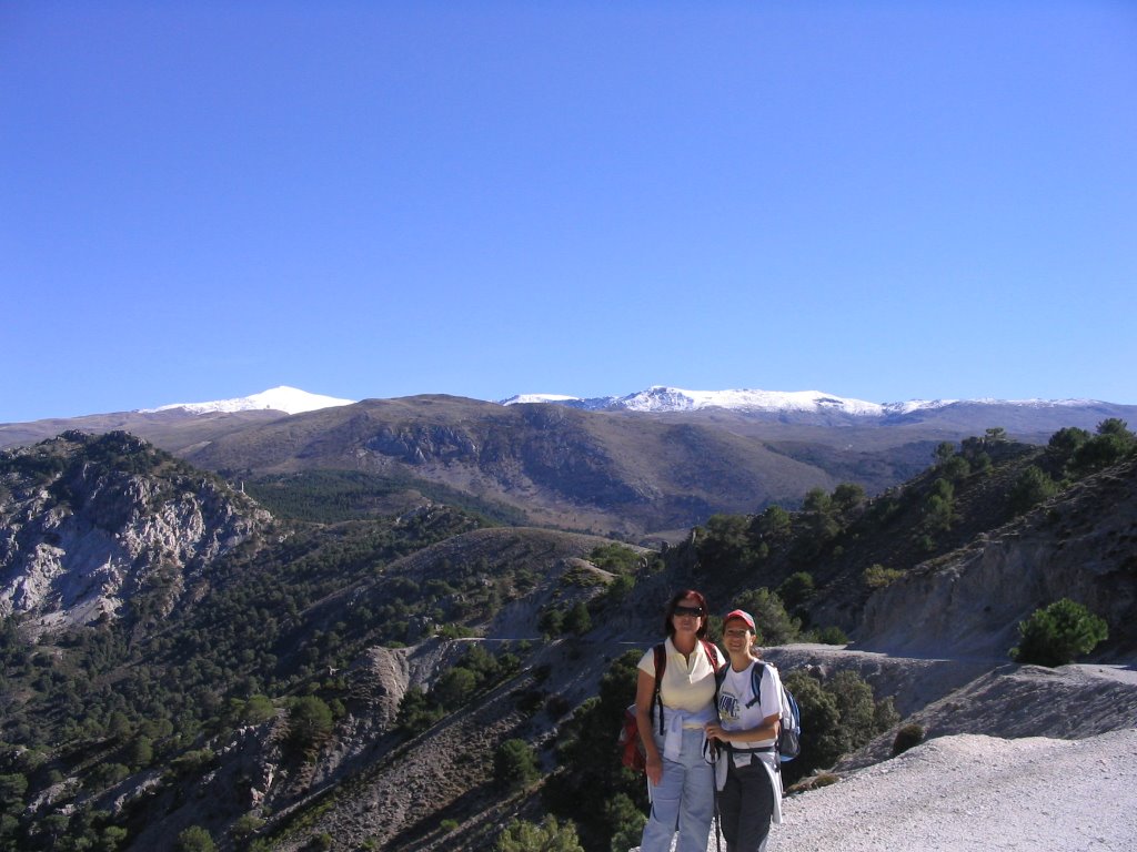
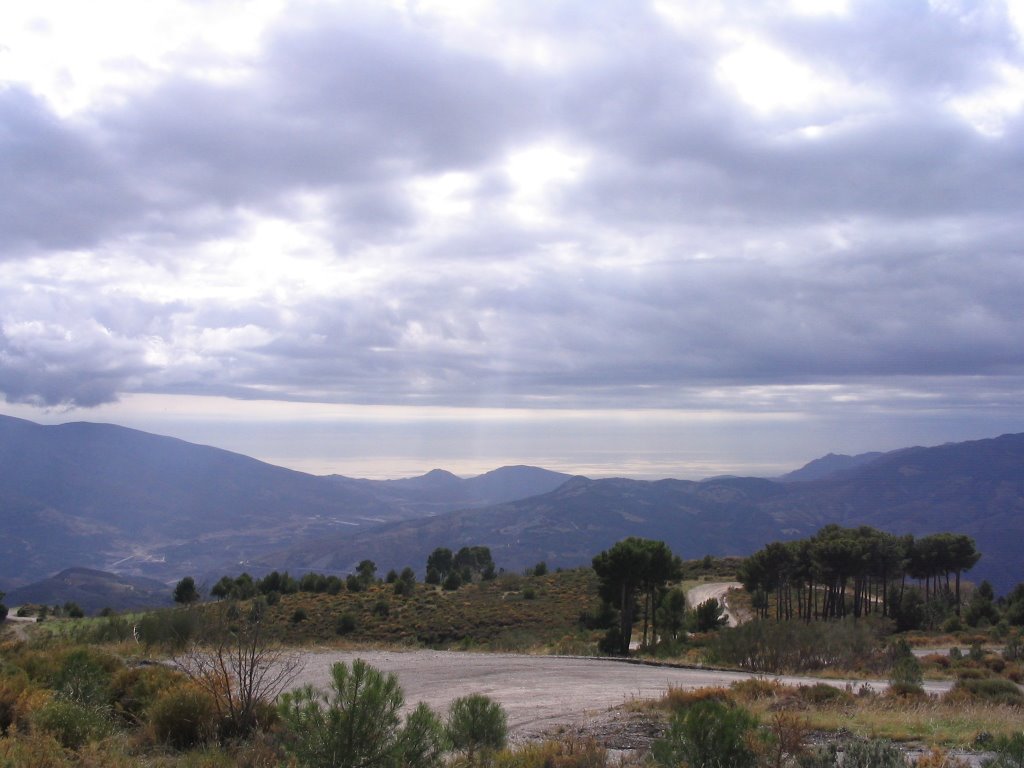
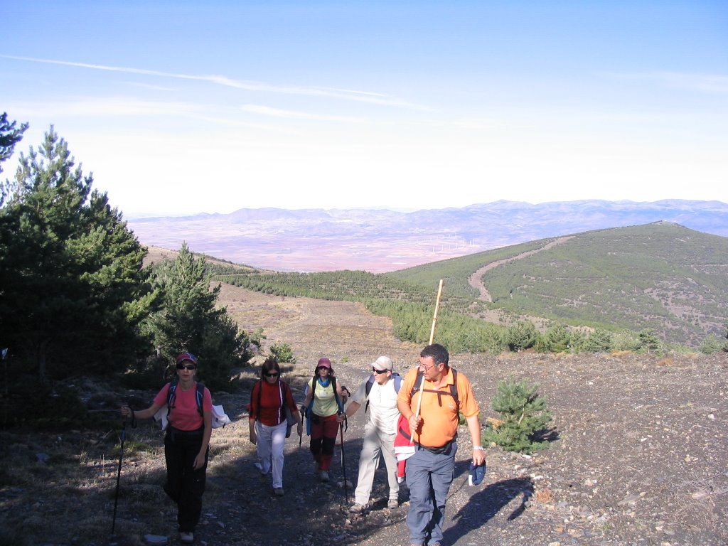
now walk for a ground target lane width and we left after a "pretty" up to make a path on the left that leaves us on a sand gully in back, then, in another thick pine forest. To our right is the Cerro de los Poyos Monachil . Having left behind us magnificent panoramic views: the Dehesilla in a position to watch, with a little snow on top we see the Veleta, slashes of the Virgin and to the Cerro del Caballo, and again Trevenque that fabulous closing table under the blue sky and now had extended to beyond the horizon, if possible, in honor of his name, and to this day so enjoyable that more could be asked for this "spring" of November ...!
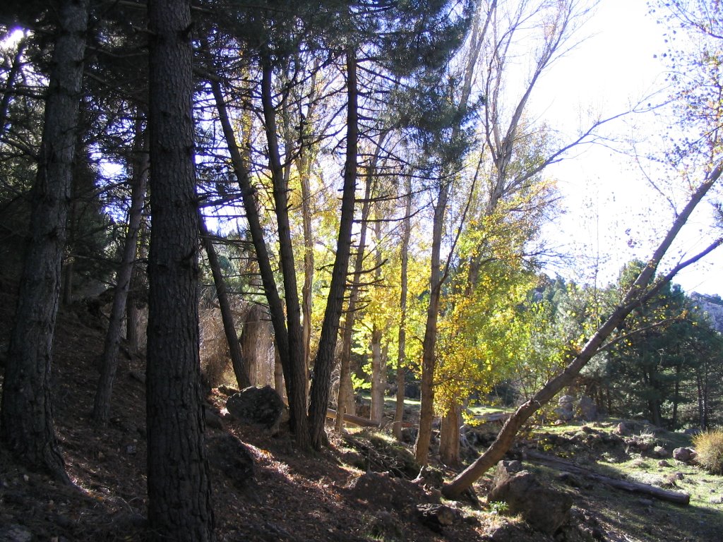
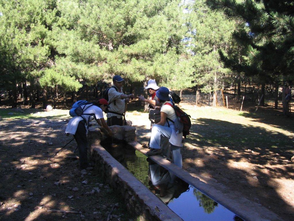
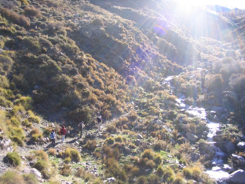
far and from the Collado de Matas Greens have been surrounding the Pico Treasury in order to enter after crossing the sand I said, in the thick pine forest, Cerro de Huenes and direction Cold Source . But before we pass by a fountain and water trough and a pen for livestock (although many in this place they call Cold Source also) and then passed through a heavily wooded area where they do not come or the sun's rays and we have above. We arrived at
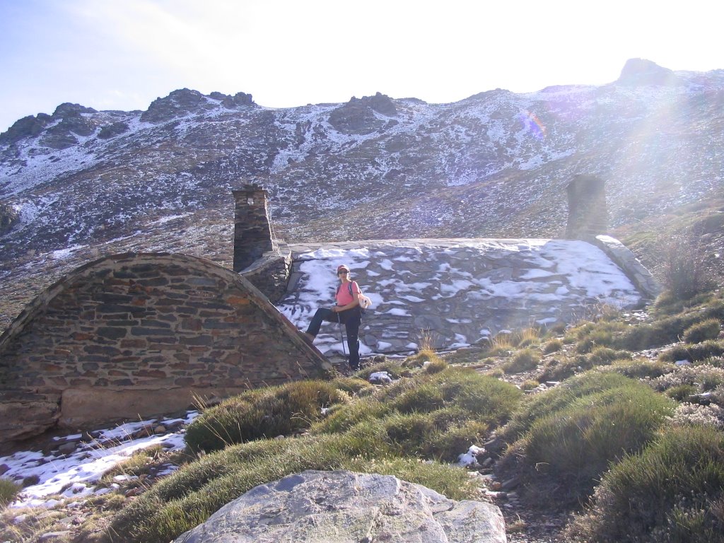
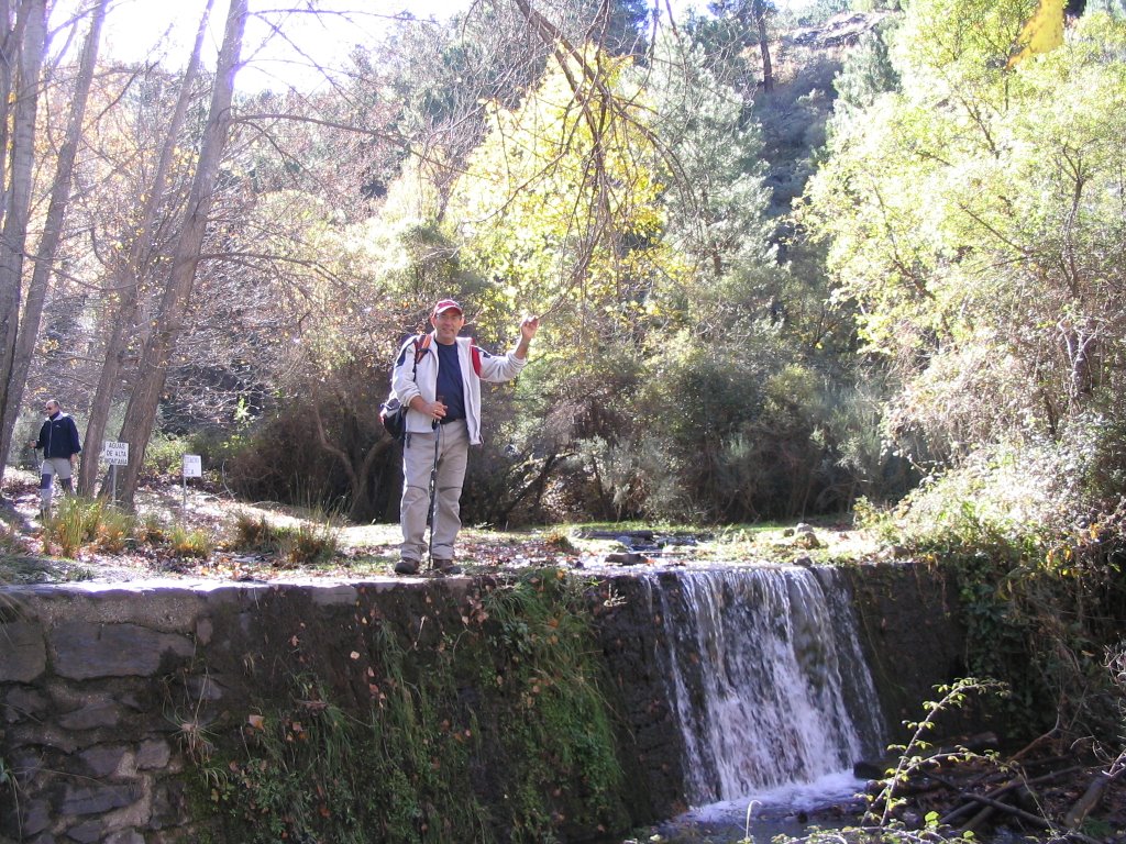
Source Cold (the life), which we recognize by the poplars that are in this "secluded shore, a curve to the left. If we go into a stride, we see the dry lake (a shame, what was this place!).
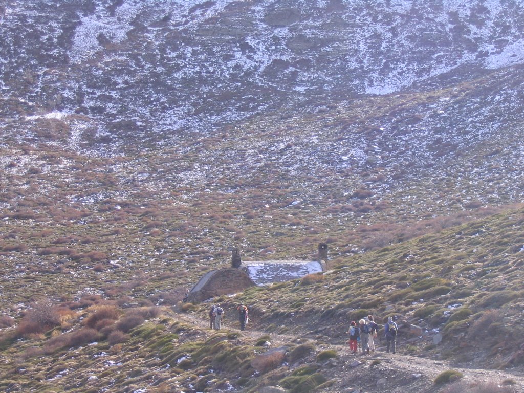
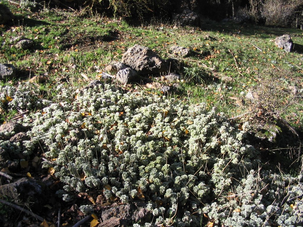
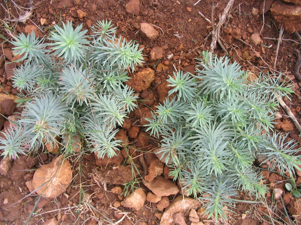
continue down this path covered with pine trees, and roof, and upon reaching a second tank, also empty, we take a path to our right (If we had continued through which we brought here also go down to the Zubia). After this turn, continue to decline and a little further down we come to the Refuge Huenes or Cold Source, where do the high bound for the supplies. Observing that the shelter is in a lamentable state rather than, throwing debris (being used as shelter for livestock). Its origin is that of an old nursery. And speaking of flora and fauna, the most watched and breathed: the sister cushion and pastor, creeping juniper, the broom, rose hips, horehound ( Marrubim supinum ), the beautiful pine and oak crossed and sighted Several groups of goats, and this magnificent specimen of eagle under the ceiling of the sky.
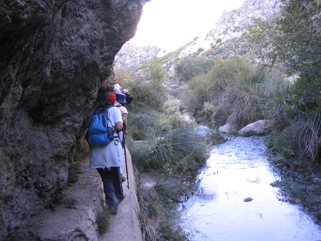
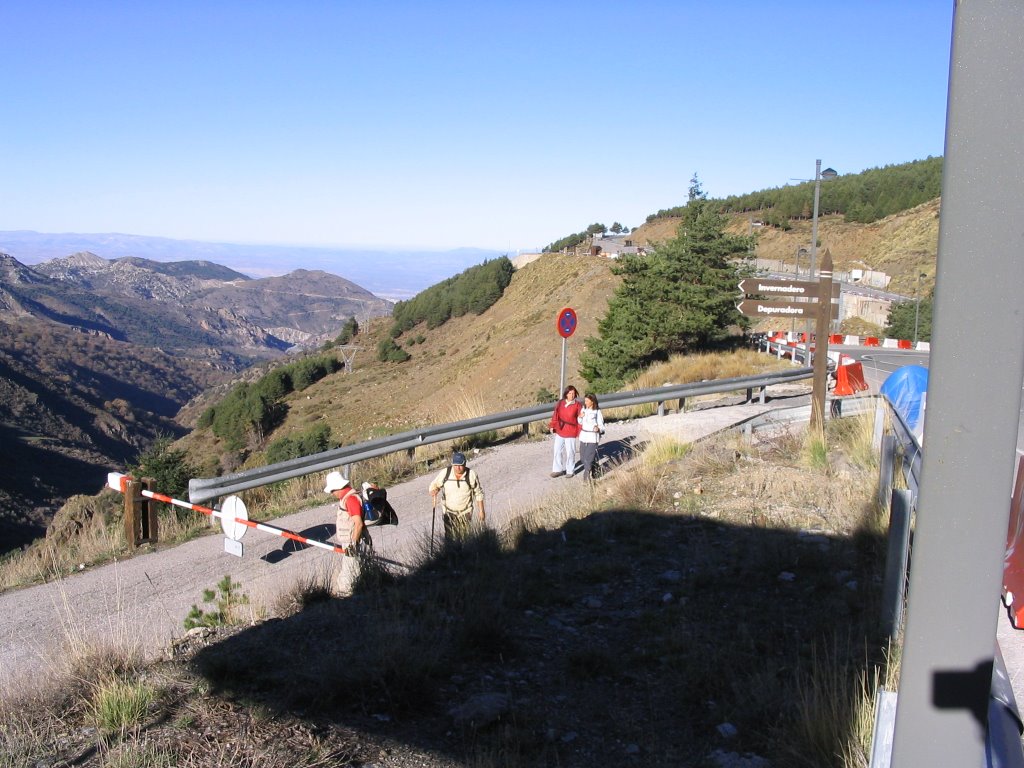
After the entry of solids and liquids, about 14:55 am, we continued the march and the lower belly, and extra dessert, take the trail heading toward the Cahorros and leaving behind the shelter. And go hard! Was downhill, but with the brakes a shot of hot lava! So there we go, in this last instance of the path where the river Monachil have under our legs and the last " trincaera" water, and head !!!!! Luckily the Cerrajón screen made us! A hand right, Hill Sanitarium, a restored building on its very summit, which some call " The Throne of God" on the very ruins of that sanitarium for tuberculosis and did not appear to to be inaugurated as such at the time of the English Civil War. Summit to throw some advantage from it in foil. See also the front line of yellow poplar and discrurre on the Acequia Habis, and the final section of Cerrillo Cortijo or Bellavista.
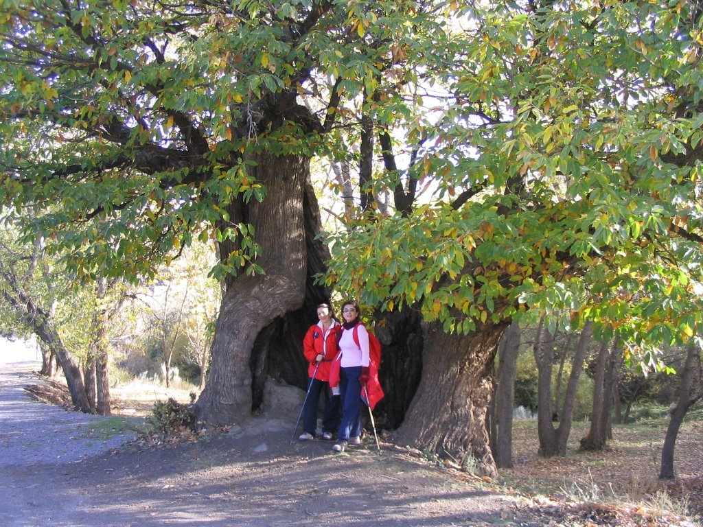
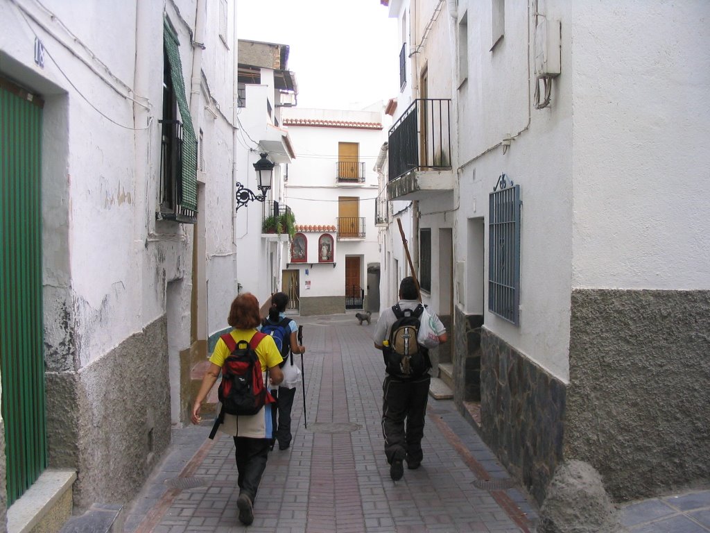
Cahorros today were more than busy. Many visitors and walkers up and down, people clinging to the walls of pits typical climbing, and as bonded with Loctite. Cahorros word, the mountaineer slang means: rugged and steep ridges on the slopes of the hills. Total that, after some difficulty the other, on the left bank of the river Monachil (by balancing, dragging ass for the stone, or rather, let's not screw it up, by the artificial wall built for the channeling of water, etc., etc ...), to get through this beautiful canyon area, past the Cueva de las Palomas , and sooner or later, after a bridge, two bridges, three bridges ... the shortest and the most long (the length of 63 m and 100 years old and renovated), the more fixed by the most moving, in, after leaving the ascent to the Renegreales was behind us and go round it in the Street expected, but not wanting to finish (at this beautiful place I mean), in the urban core of the mountain village of Monachil. And there we ended up in the Terrace Restaurant-Mill , to take away that "tide" of legs and a bit cool the brakes. It was 17:00 h. accurately, and to not tell lies.
So with more time lying on their backs that up, because the bus to Granada, went on at 17:50 As we drank and we win. But the legs still shaking us, the record. (Just kidding, here's drunken fall into the river). And so the walk to be precise with the braking.
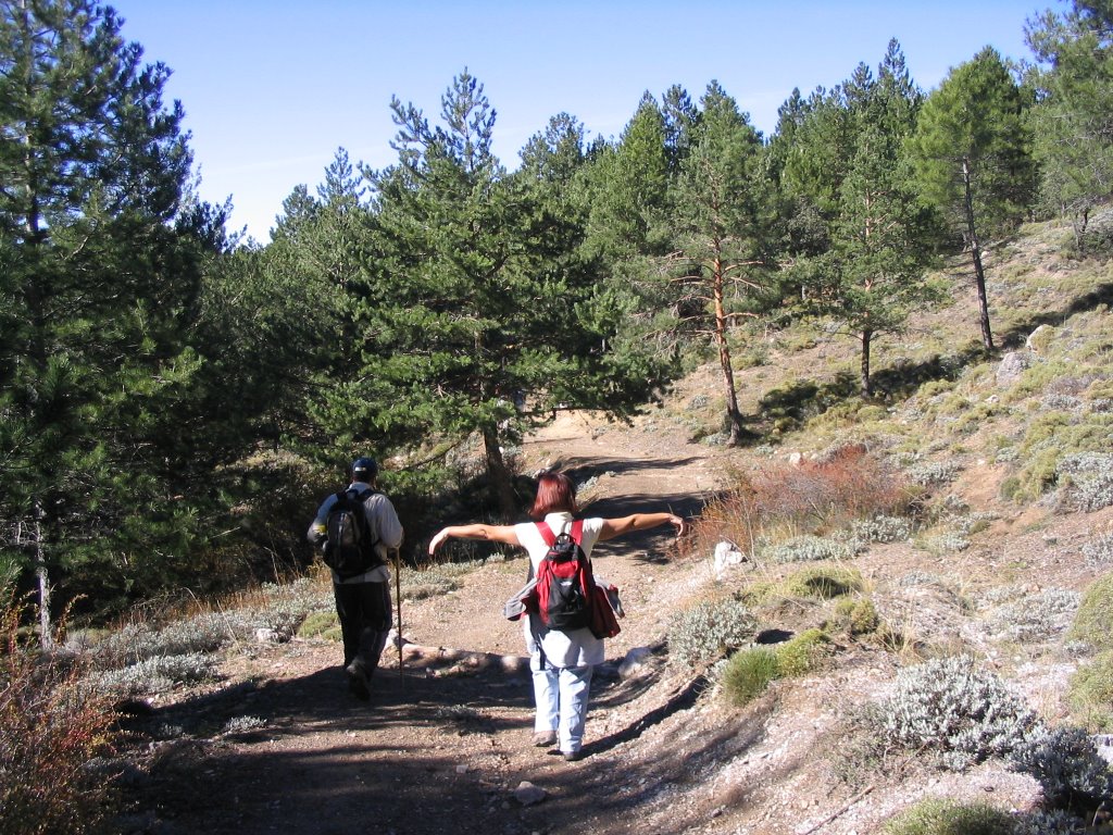
As always leave some snapshots of those moments lived, and with an eye on tomorrow (by the way, if I mistake not, it's Monday and more uphill all week ...)
And finally, a tip this humble fan of steps: " For anyone who can, on the go, the heart will return as a gift." The best way to honor the roads, still and live in the memory "
*
-Accesos: De Granada a la Estación de Esquí (Pradollano) en autobús. De Monachil a Granada lo mismo.
-Itinerario: Pradollano, Collado de Matas Verdes, Fuente Fría de Huenes, Refugio de Huenes, Los Cahorros de Monachil, Monachil
-Trayecto: lineal
-Número de participantes: 5
-Dificultad: Media
-Duración: 7 h.
-Agua: Pradollano, abrevadero de Fuente Fría, los Cahorros; pero, como casi siempre, se recomienda llevar.


