


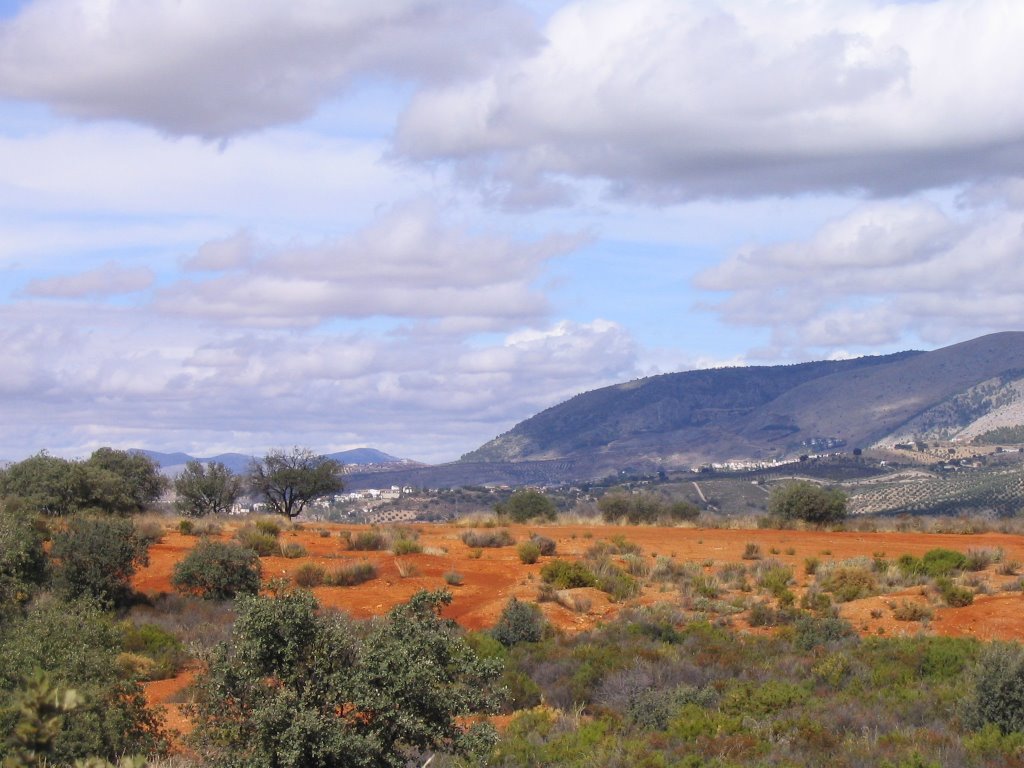
BEAS DE GRANADA A , by the river Darro. We
this pleasant place to enjoy one of the best dishes on the menu that offers great nature. Specifically one of the most important routes linking the city of Granada with the neighboring and friendly Beas de Granada and was used in the past in the Journal of the steps. Closing and completing the circle with the other, also made the cardinal and Sunday 22, making the journey in the opposite direction (from Beas de Granada, Granada), specifically by Cordel Collado de Puerto Blanco, Vereda del Barranco del Abogado, new car of the Alhambra, Granada. With the exception and that this difference, the former to the latter, to go for the divide, the views were on the rise and this, against, even losing sight of the horizon of the high peaks and low mountains of Granada , we won this riverside landscape on both banks of the river Darro. And here and now, the autumn, as we expected and hoped to your door, with all their colors from top to bottom and endless ...
this pleasant place to enjoy one of the best dishes on the menu that offers great nature. Specifically one of the most important routes linking the city of Granada with the neighboring and friendly Beas de Granada and was used in the past in the Journal of the steps. Closing and completing the circle with the other, also made the cardinal and Sunday 22, making the journey in the opposite direction (from Beas de Granada, Granada), specifically by Cordel Collado de Puerto Blanco, Vereda del Barranco del Abogado, new car of the Alhambra, Granada. With the exception and that this difference, the former to the latter, to go for the divide, the views were on the rise and this, against, even losing sight of the horizon of the high peaks and low mountains of Granada , we won this riverside landscape on both banks of the river Darro. And here and now, the autumn, as we expected and hoped to your door, with all their colors from top to bottom and endless ...
So, and to present this pleasant climb up the river Darro up until his encounter with the river Beas, dating back end at this location so close to the city of Granada, that was formerly a crossroads, I open my eyes again and I count the steps.
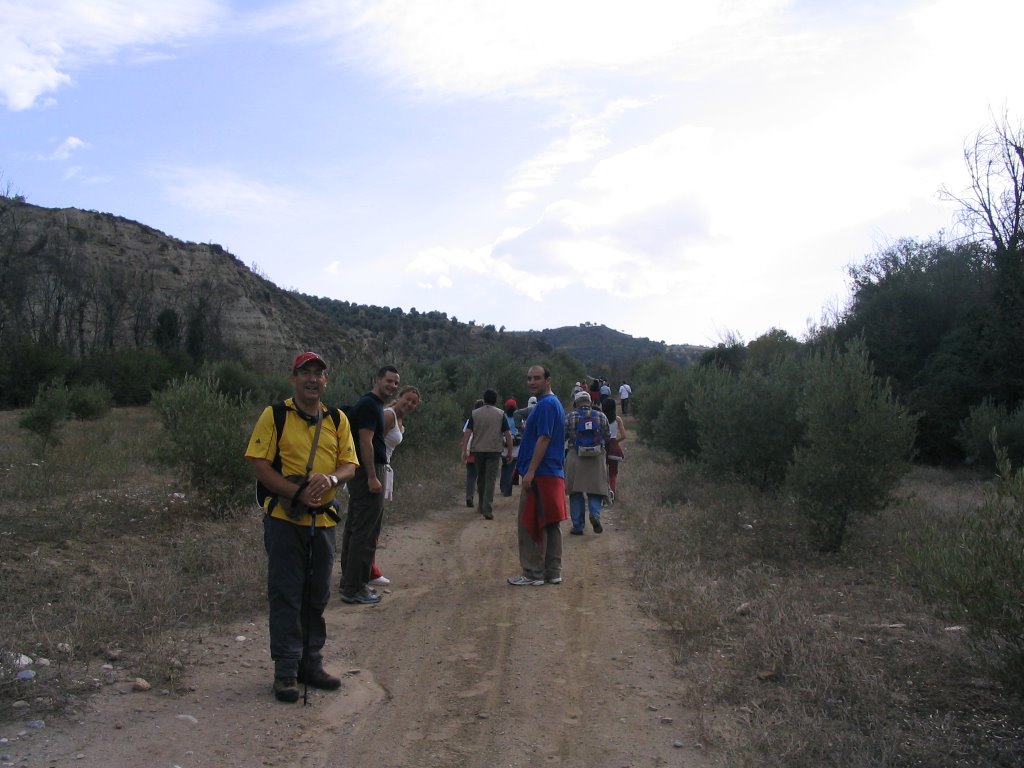
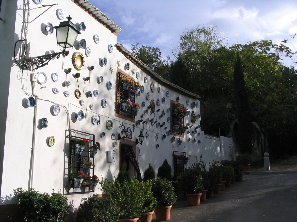
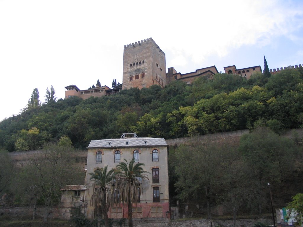
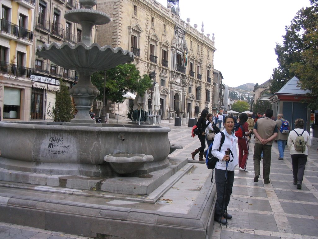
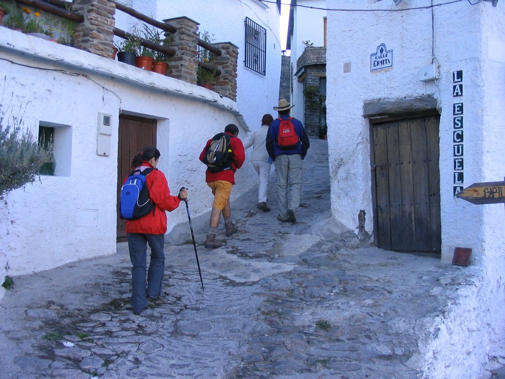
The march started from the Plaza Nueva , about 9:40 pm after the presentations and touchdown. The temperature was already more than pleasant, so we took the Carrera del Darro heading to Paseo de los Tristes, with the joy of climbing so overwhelm us ... And Chapiz Slope was the first rise. But no, that after spending Schools Ave Maria, we turn right and stopped at the entrance of Camino del Sacromonte to regroup. " The Chorrohumo " become statue, saw the count: 20 concentrates and were prepared to assault.
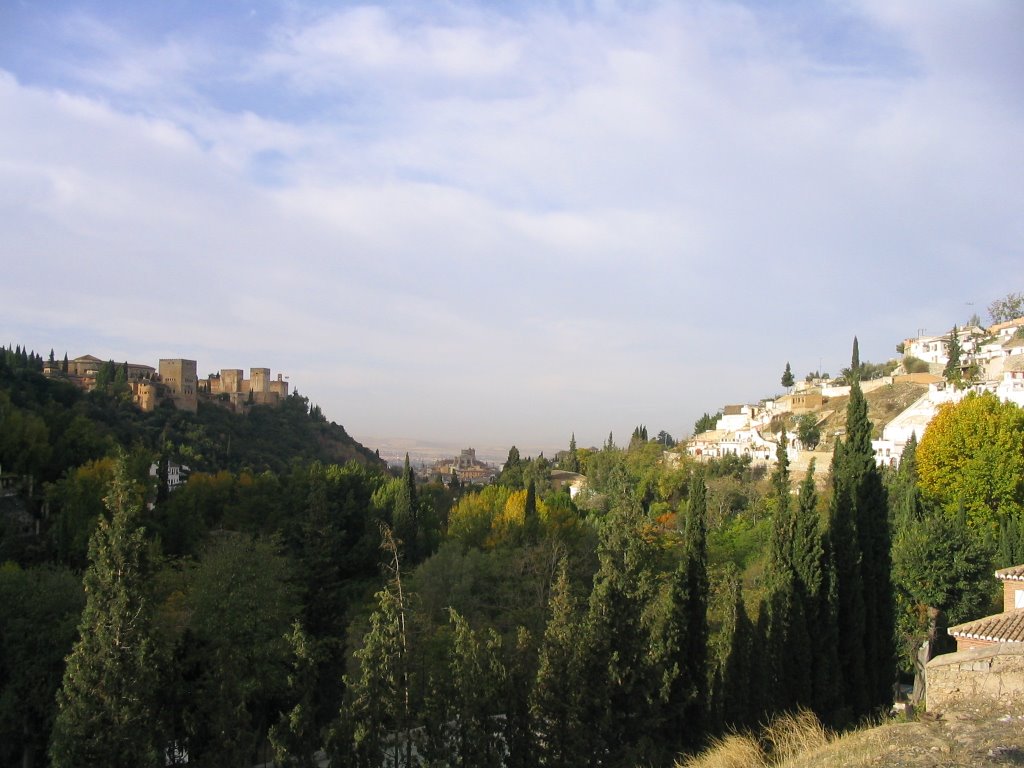
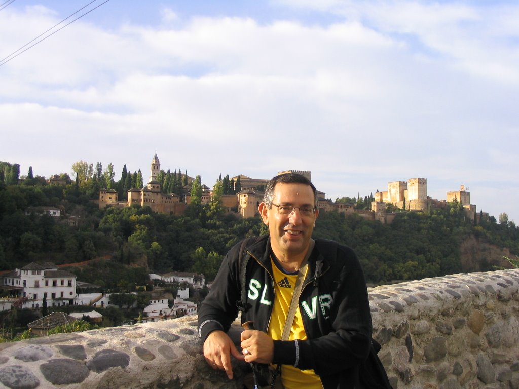
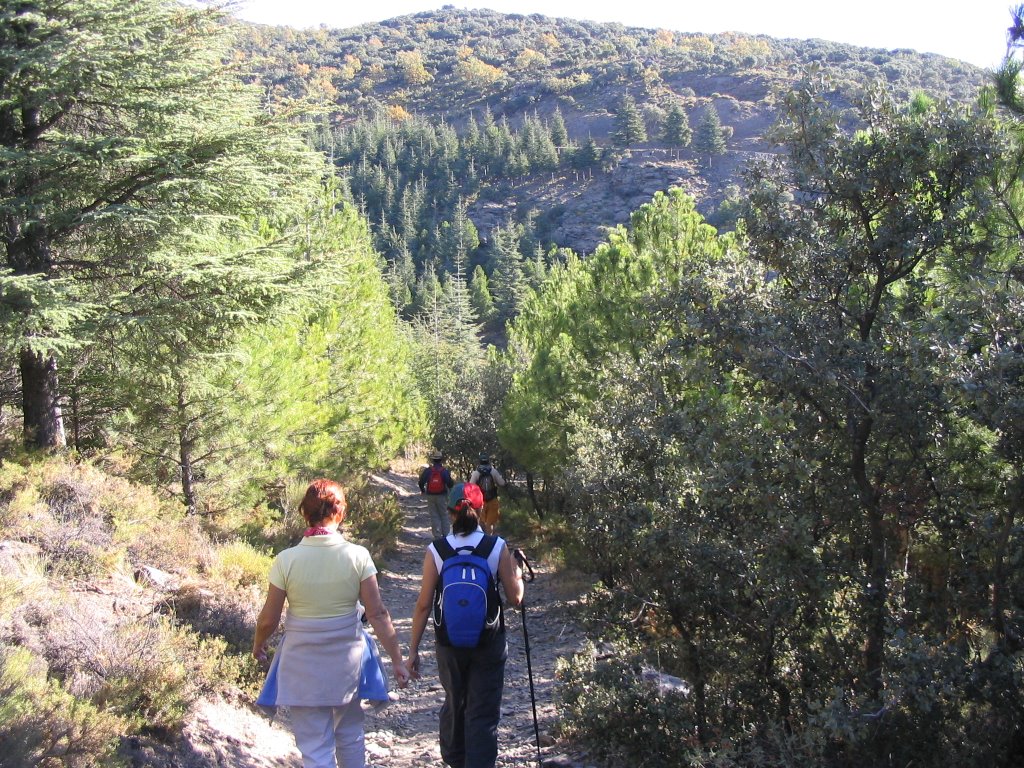
Camino de Sacromonte that we all followed, without pause, only the odd curve on the asphalt to shoot beyond the "automatic." Granada behind us, the red citadel - The Alhambra, at our right, our left we passed caves and houses, the Chapel of the Holy Sepulchre, and there on the bridge Mariano, along with picnic Fruit Fly, we added two new friends through their paces as their only weapons.
So soon, and taking as the Camino de Beas marked as such and with embedded ceramic plate by Hon. City of Granada, after finishing it and turn right cross the first bridge across the still waters, entering the so-called " Peri Park." Clarifying here before, that part of this road, on the point where we are, just before crossing the first bridge in its original path, went through the laundry (just the opposite side we take.)
The march started from the Plaza Nueva , about 9:40 pm after the presentations and touchdown. The temperature was already more than pleasant, so we took the Carrera del Darro heading to Paseo de los Tristes, with the joy of climbing so overwhelm us ... And Chapiz Slope was the first rise. But no, that after spending Schools Ave Maria, we turn right and stopped at the entrance of Camino del Sacromonte to regroup. " The Chorrohumo " become statue, saw the count: 20 concentrates and were prepared to assault.
Camino de Sacromonte that we all followed, without pause, only the odd curve on the asphalt to shoot beyond the "automatic." Granada behind us, the red citadel - The Alhambra, at our right, our left we passed caves and houses, the Chapel of the Holy Sepulchre, and there on the bridge Mariano, along with picnic Fruit Fly, we added two new friends through their paces as their only weapons.
So soon, and taking as the Camino de Beas marked as such and with embedded ceramic plate by Hon. City of Granada, after finishing it and turn right cross the first bridge across the still waters, entering the so-called " Peri Park." Clarifying here before, that part of this road, on the point where we are, just before crossing the first bridge in its original path, went through the laundry (just the opposite side we take.)
To our right we passed the Andalusian Teatino and to our left we now have a great nursery private property, belonging to the family known Taboada here for Granada, property that was before Rodriguez Acosta, and who changed the name, the old Cortijo Moronta I mean, for the current is known: The Carmen of Granados, about 65 hectares. about surface.
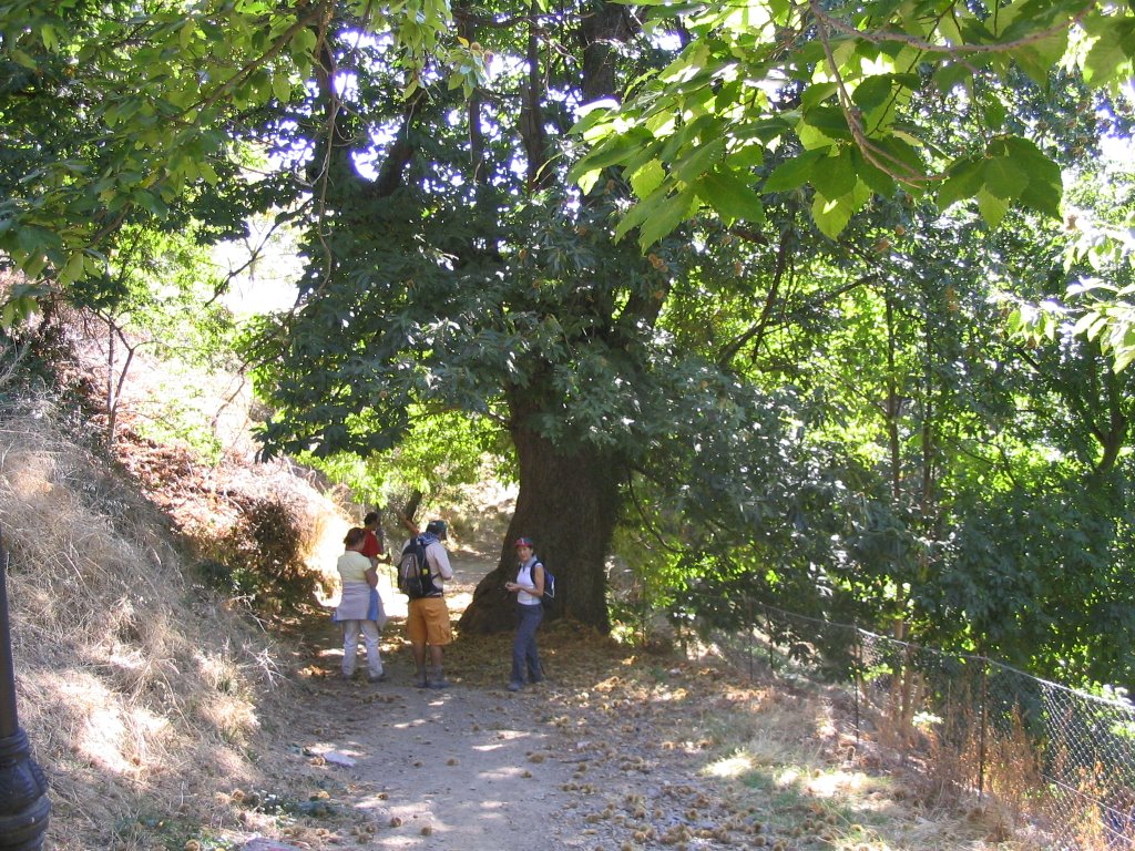
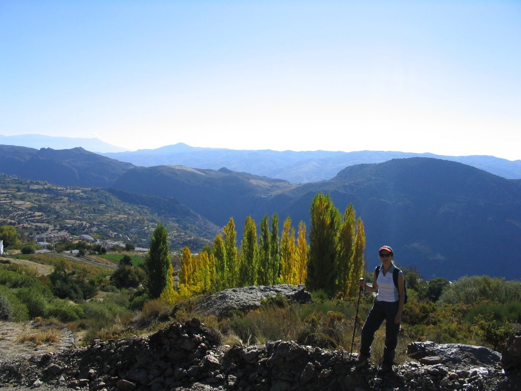
The landscape now becomes autumn and the leaves change and change as if to draw our attention. The trail is clearly marked rather by the wear caused by walkers than shown, so there is no possible loss, passing parallel to a cooling canal for a short distance. After crossing the second bridge, we moved back to the right bank of the river Darro. A majestic cypress
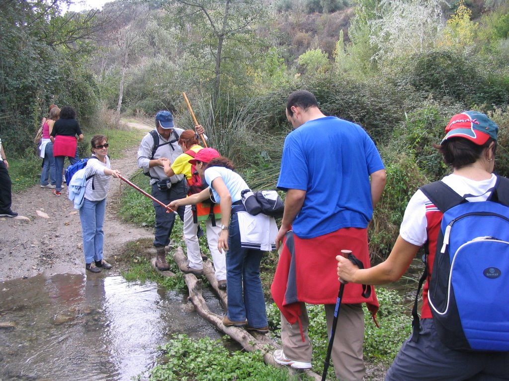
greet us on our way and after turning to our right we enter again in a lush natural of marked bank, continuing Peri Park and that leaves us on a small grove of seedlings. The road is cut again to cross the river Darro and now on a thin trunks and keeping the balance not to get wet.
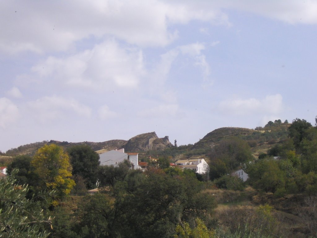
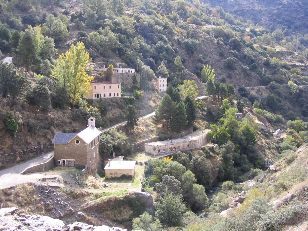
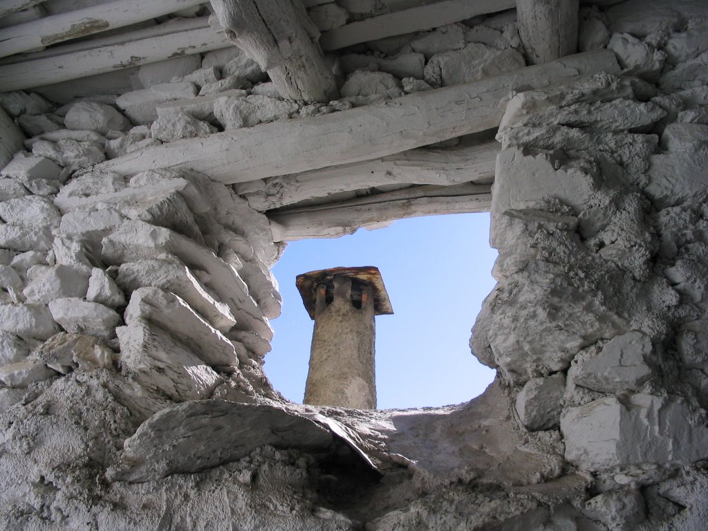
When we came to the country estate of Jesus Valley and was founded by the Jesuits in the sixteenth century. It is situated in the so-called pay the banks of the Darro and Andarat, northeast of the mountains the Alhambra and Sacromonte Abbey. What one can see there are only ruins, but that has great historical value: it is one of the best examples of a country estate at the time and key to the study of farms and ranches in the Church and the economic role played the Society of Jesus in those centuries. So Jesus del Valle was registered in June 2005 in the general catalog Andalusian Historical Heritage, the monument category.
The cottage consists of a main building, the property itself, which in its day was an oil mill, one of flour, winery and stables. And a second area for the Jesuits' residence. All surrounded by what were once abundant in arable land and nestled in a rich landscape, leading to its owner, the builder Ávila Rojas, design a project to convert the property into a luxury hotel. Today that is a dilapidated building, but it is a monument and insured. Hopefully someday I can see how true, expecting that did not disappear by neglect, of course.
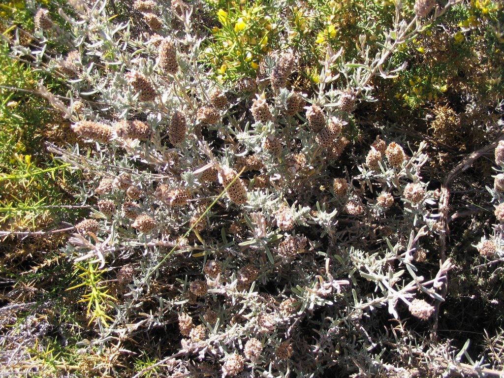
But in the end, and following our steps, having crossed it, the landscape is again typical Mediterranean, rosemary is still in flower, the gorse is yellow, majoletos - hawthorn (Crataegus monogyna ) Blush as we passed by teaching your eyes hundreds, and the waters of the Darro valley below are arousing the suspicion that this place is well regarded and treated. Total, at home and never better, come on. On the left, a cypress willing row mark the place where the Darro gives up part of its waters into the Royal Canal .
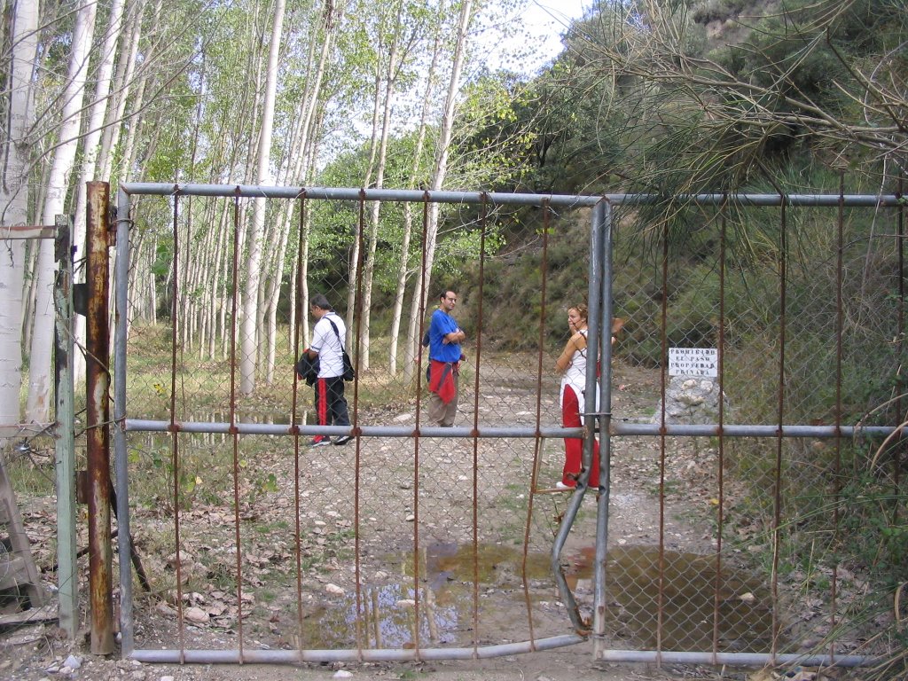
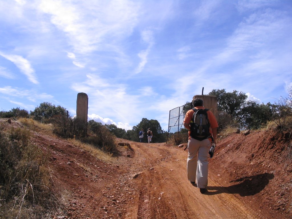
But come what you get when you cut the step ... a rickety gate cuts we enjoy running! So to us we have to devise to get through anyway, because this road is all spent and spent in the past, and through a hole in the fence to the left of it, we can cross well, after break out of the steel spikes.
went into the properties and lands Cortijo de Cortes, and we know all about the despotism of the time, but now in the XXI century, which still allows, is a real shame. And here are all institutions in the sack that they can not do anything about it: recover or trace the ancient roads to avoid all this, for example, agreeing with the present owner to do so if required, ETC. etc. Lord
The landscape now becomes autumn and the leaves change and change as if to draw our attention. The trail is clearly marked rather by the wear caused by walkers than shown, so there is no possible loss, passing parallel to a cooling canal for a short distance. After crossing the second bridge, we moved back to the right bank of the river Darro. A majestic cypress
greet us on our way and after turning to our right we enter again in a lush natural of marked bank, continuing Peri Park and that leaves us on a small grove of seedlings. The road is cut again to cross the river Darro and now on a thin trunks and keeping the balance not to get wet.
When we came to the country estate of Jesus Valley and was founded by the Jesuits in the sixteenth century. It is situated in the so-called pay the banks of the Darro and Andarat, northeast of the mountains the Alhambra and Sacromonte Abbey. What one can see there are only ruins, but that has great historical value: it is one of the best examples of a country estate at the time and key to the study of farms and ranches in the Church and the economic role played the Society of Jesus in those centuries. So Jesus del Valle was registered in June 2005 in the general catalog Andalusian Historical Heritage, the monument category.
The cottage consists of a main building, the property itself, which in its day was an oil mill, one of flour, winery and stables. And a second area for the Jesuits' residence. All surrounded by what were once abundant in arable land and nestled in a rich landscape, leading to its owner, the builder Ávila Rojas, design a project to convert the property into a luxury hotel. Today that is a dilapidated building, but it is a monument and insured. Hopefully someday I can see how true, expecting that did not disappear by neglect, of course.
But in the end, and following our steps, having crossed it, the landscape is again typical Mediterranean, rosemary is still in flower, the gorse is yellow, majoletos - hawthorn (Crataegus monogyna ) Blush as we passed by teaching your eyes hundreds, and the waters of the Darro valley below are arousing the suspicion that this place is well regarded and treated. Total, at home and never better, come on. On the left, a cypress willing row mark the place where the Darro gives up part of its waters into the Royal Canal .
But come what you get when you cut the step ... a rickety gate cuts we enjoy running! So to us we have to devise to get through anyway, because this road is all spent and spent in the past, and through a hole in the fence to the left of it, we can cross well, after break out of the steel spikes.
went into the properties and lands Cortijo de Cortes, and we know all about the despotism of the time, but now in the XXI century, which still allows, is a real shame. And here are all institutions in the sack that they can not do anything about it: recover or trace the ancient roads to avoid all this, for example, agreeing with the present owner to do so if required, ETC. etc. Lord
owner, and it is known, that this path is as old as all, and so would have to dial, and you do not like the "No Trespassing" and "Attention dogs, "and that contempt for walkers, especially as straw that broke the glass. Well
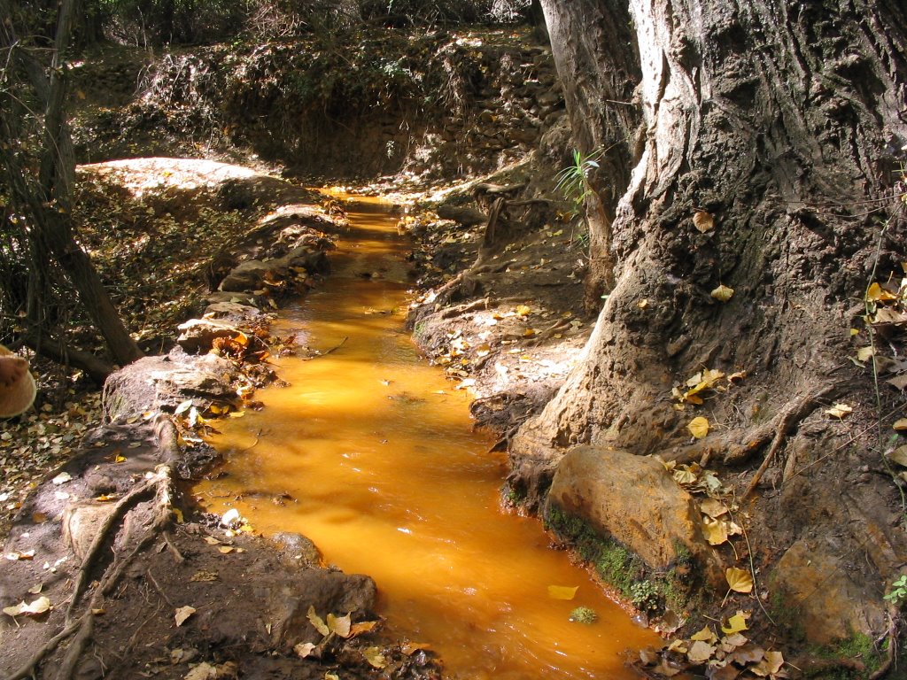
and returning the echo of the steps, soon we came upon a chain which cuts back the pulse of the walk. And for more dirt ... now smeared with "a fat disgusting" and not only in Iberian sobrasada expired.
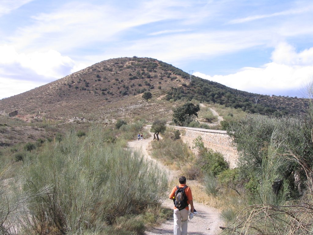
continue the walk and soon, we enter a mall refreshing. After a further exchange of margin Darro River, we passed the building of this great country estate that belonged to the famous count as livestock Don Pelayo, but not before a new chain circumvent that we cut the path of the steps. Then again
crossing the Darro, but this time right in the place where the Beas River is joined to it by pairing them.
put malls serve their yellow and green contrast against the rest of the leaves that have not yet given its sap the life cycle of nature.
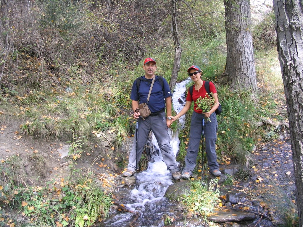
continue our march and a quarter hour of the mouth, leave the trail for less than lower approaching another river on the right. Again we see another bridge across the river to our right and continued walking. From here, the natural way, "of all travelers," to put more emphasis on his most democratic, must wade through the river Beas several times before reaching the first houses.
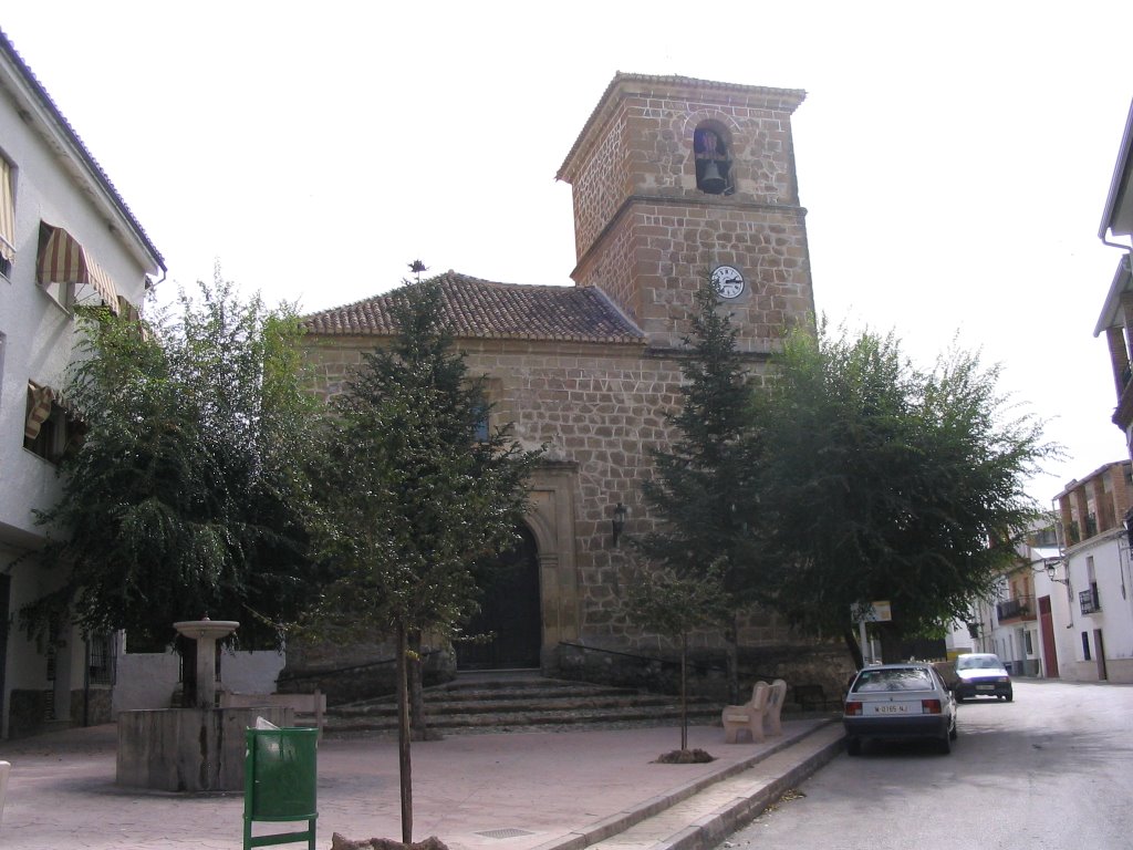
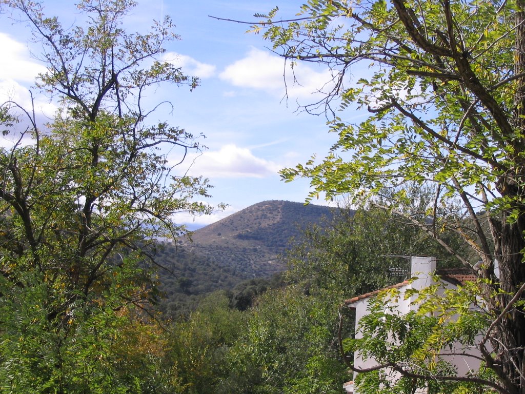
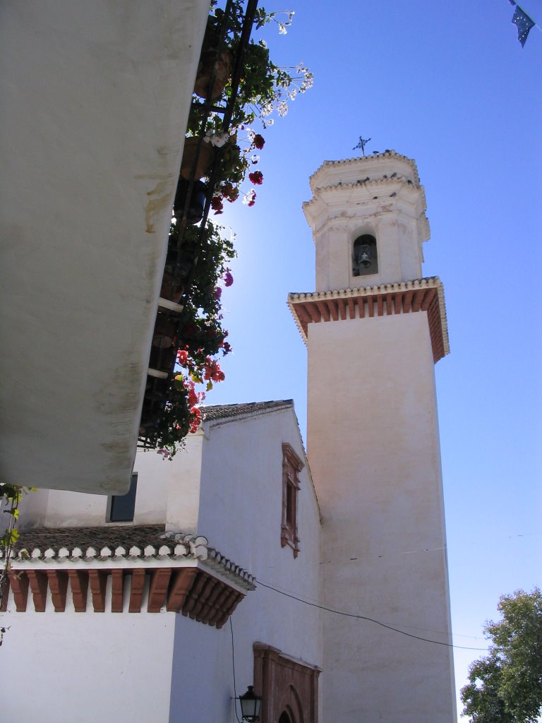
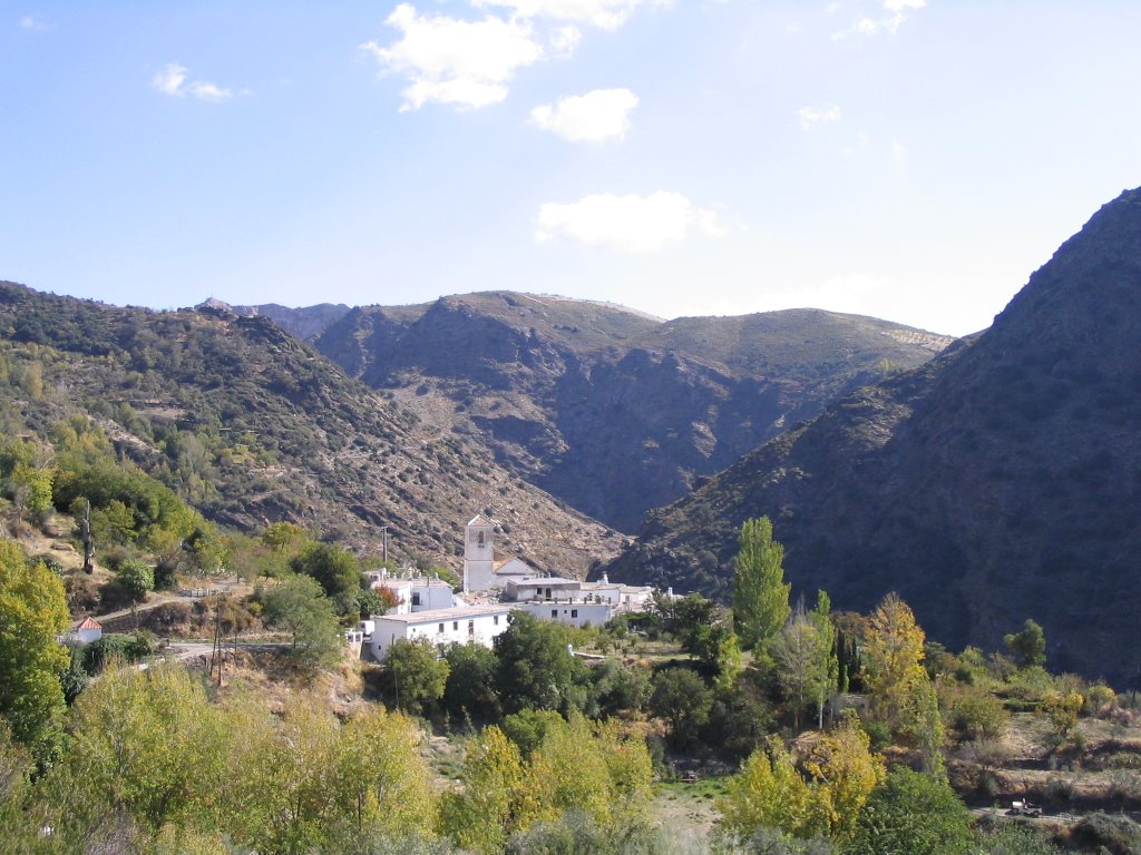
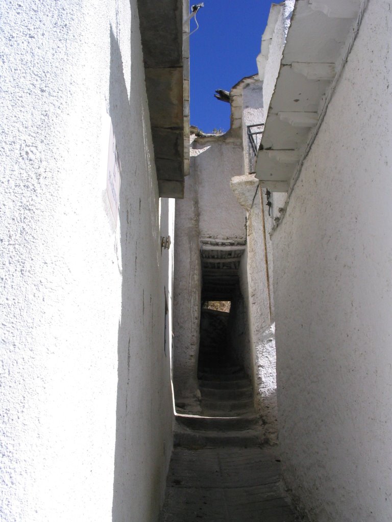
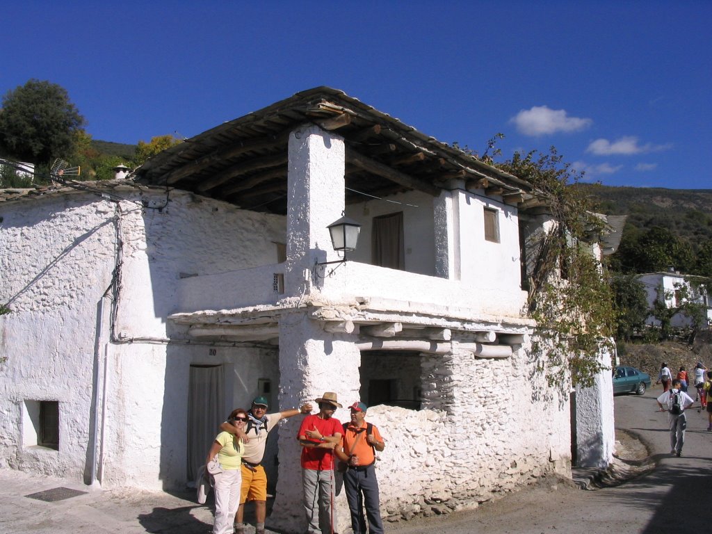
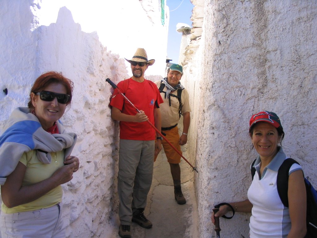
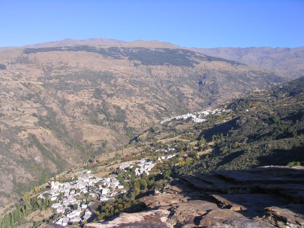
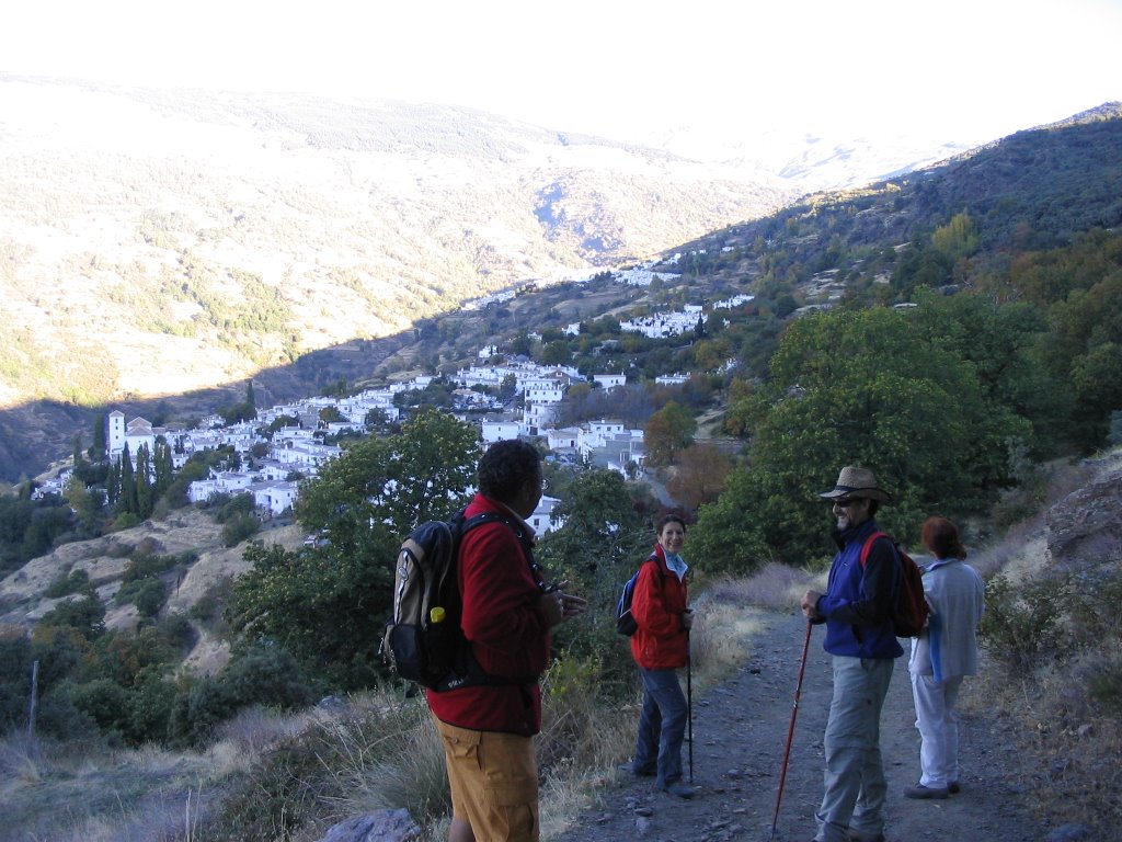
The next intersection, after passing the new premises of the waste water treatment, and Beas de Granada, will be the last bridge that leaves us on the steep slope that forms the Calle Granada in its infancy, and that raising it (the only section that can be considered strenuous, if possible, to all the action) leaves us on the Plaza de la Iglesia.
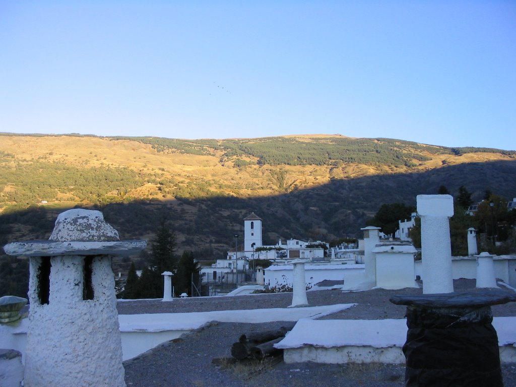
So, about 14:30 pm, an end of the course, now it was cool inside ... At the inn of La Pradera we're headed down the road of the village and only exit to the A-92. And already, asphalt below, connects this city with the graceful city of Granada. The return would in vehicle.
I have finally mean that from the street of the Nativity, where the corner this quaint inn, and the road to Granada, part of the path that leads, in less than half an hour, at the very source of the river Beas, where some people think, even considered, which could locate the source of the river perfectly Darro, since his head is higher than that is recognized in Huétor Santillán (in the Fountain of Porqueros). But we know that at this stage to change the textbooks would be a mess and more on these two people as neighbors. But hey, taking advantage of the clean slate of Planet Pluto, could take this opportunity to define. If not, you call it as it is, River Beas, and the other, for example, Huétor, and their union down, which is termed as Darro, it would be better question to find out. Several examples have in other rivers like the Genil, Poqueira, in the controversy of the Guadalquivir to the Guadiana Menor, etc., Etc. This is a view share, and does not attempt to exit at any newscast!
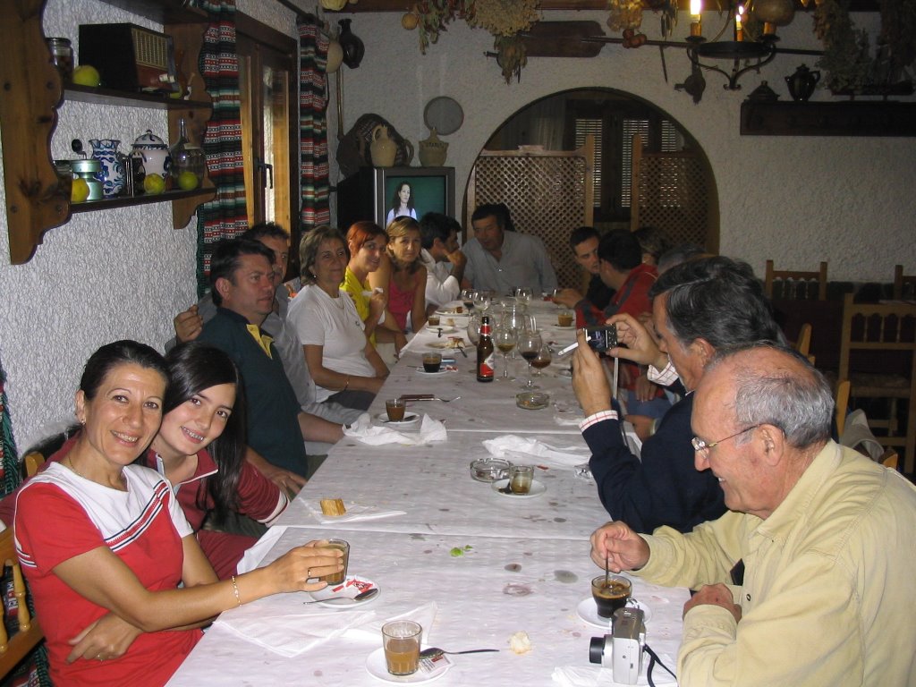
And as always, I leave you with these snapshots of a table. Today with getting fall color for the eyes, hearing and smell, and calling us to visit! And that advantage, that tight red, green, waiting, yellow flies, blue in the air like ... dream on earth!
and returning the echo of the steps, soon we came upon a chain which cuts back the pulse of the walk. And for more dirt ... now smeared with "a fat disgusting" and not only in Iberian sobrasada expired.
continue the walk and soon, we enter a mall refreshing. After a further exchange of margin Darro River, we passed the building of this great country estate that belonged to the famous count as livestock Don Pelayo, but not before a new chain circumvent that we cut the path of the steps. Then again
crossing the Darro, but this time right in the place where the Beas River is joined to it by pairing them.
put malls serve their yellow and green contrast against the rest of the leaves that have not yet given its sap the life cycle of nature.
continue our march and a quarter hour of the mouth, leave the trail for less than lower approaching another river on the right. Again we see another bridge across the river to our right and continued walking. From here, the natural way, "of all travelers," to put more emphasis on his most democratic, must wade through the river Beas several times before reaching the first houses.
The next intersection, after passing the new premises of the waste water treatment, and Beas de Granada, will be the last bridge that leaves us on the steep slope that forms the Calle Granada in its infancy, and that raising it (the only section that can be considered strenuous, if possible, to all the action) leaves us on the Plaza de la Iglesia.
So, about 14:30 pm, an end of the course, now it was cool inside ... At the inn of La Pradera we're headed down the road of the village and only exit to the A-92. And already, asphalt below, connects this city with the graceful city of Granada. The return would in vehicle.
I have finally mean that from the street of the Nativity, where the corner this quaint inn, and the road to Granada, part of the path that leads, in less than half an hour, at the very source of the river Beas, where some people think, even considered, which could locate the source of the river perfectly Darro, since his head is higher than that is recognized in Huétor Santillán (in the Fountain of Porqueros). But we know that at this stage to change the textbooks would be a mess and more on these two people as neighbors. But hey, taking advantage of the clean slate of Planet Pluto, could take this opportunity to define. If not, you call it as it is, River Beas, and the other, for example, Huétor, and their union down, which is termed as Darro, it would be better question to find out. Several examples have in other rivers like the Genil, Poqueira, in the controversy of the Guadalquivir to the Guadiana Menor, etc., Etc. This is a view share, and does not attempt to exit at any newscast!
And as always, I leave you with these snapshots of a table. Today with getting fall color for the eyes, hearing and smell, and calling us to visit! And that advantage, that tight red, green, waiting, yellow flies, blue in the air like ... dream on earth!
*
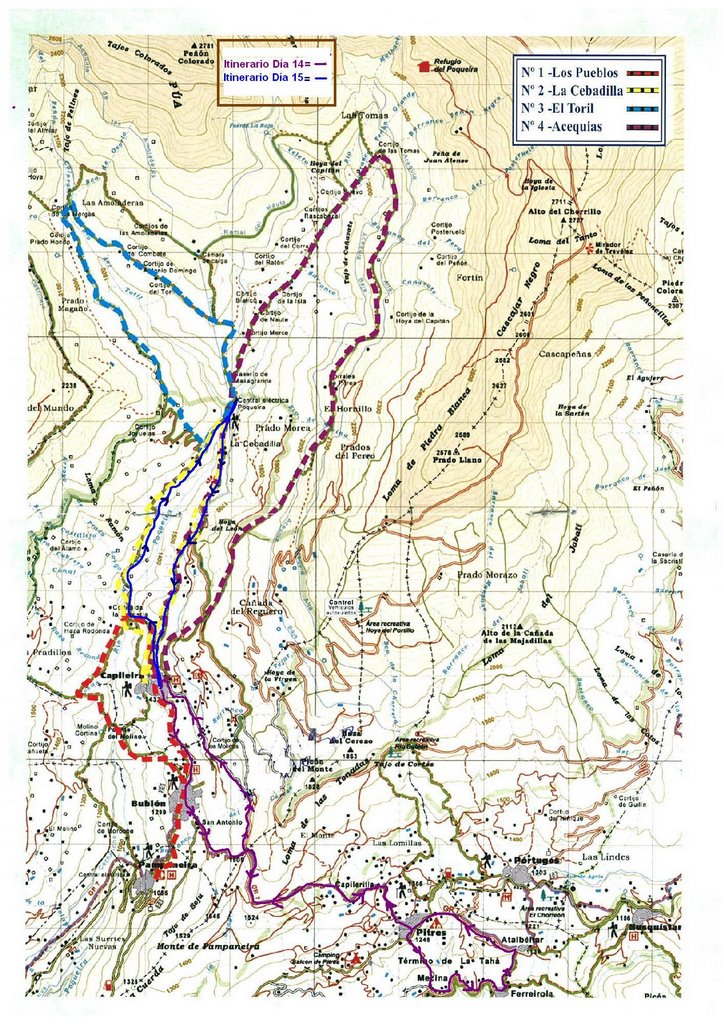
-Itinerary: Plaza Nueva in Granada, Carrera del Darro, Paseo de los Tristes, Chapiz Slope, Camino del Sacromonte, Camino de Beas, Carmen de los Granados, Jesús del Valle, Cortijo de Cortes, right bank Beas River course, Street Granada Beas de Granada.
- Route: Linear
-Length: around 15 km.aprox.
-Number of participants: 22
-Difficulty: Medium-Low
-Duration: 5 h. ("Stopping and stopping")
-Water: It is recommended to carry.


